

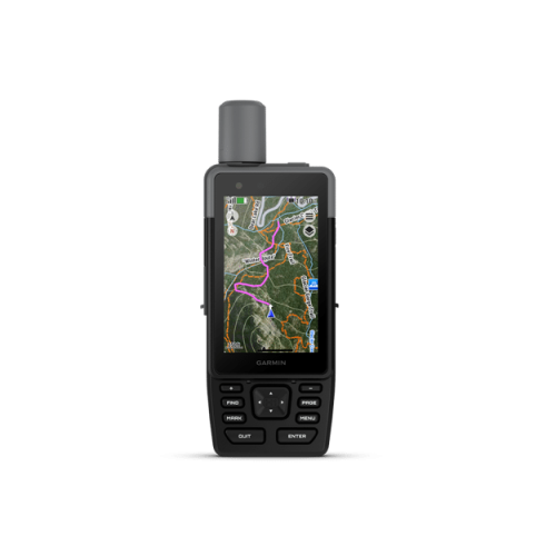

Garmin GPSMAP H1
$979.99
In stock
In stock
- Description
- Additional information
- Video
- Specifications
- Product Comparison
- Package Includes
- Product Guides & Documentation
- Accessories
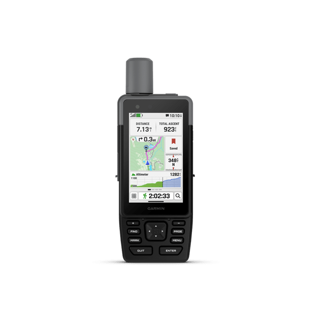
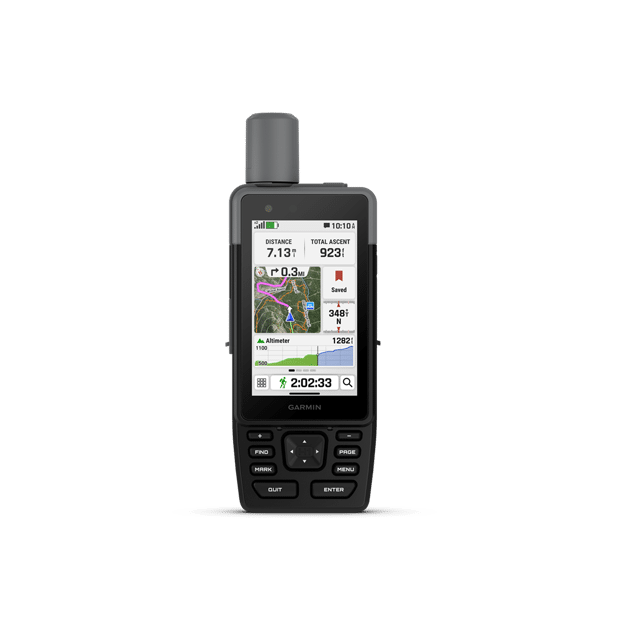
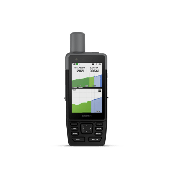
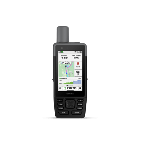
When adventure calls, respond. GPSMAP H1 is a rugged GPS navigator that is ready for the wild. This handheld device boasts the all-new, modern hybrid design with bright 3.5’’ color touchscreen display and physical buttons for increased flexibility. Explore longer with battery life of up to 145 hours in GPS mode. Easily navigate trails with preloaded TopoActive maps, downloadable satellite imagery and the option to purchase an Outdoor Maps+ subscription for ongoing access to premium map content.
NEW Features in GPSMAP H1 vs. GPSMAP 67
NEW! COLOR TOUCHSCREEN
The bright, sunlight-readable 3.5-inch color touchscreen display has chemically- strengthened glass to resist scratches. It is glove-friendly, easy to see and easy to use. Simply tap, zoom and swipe on the maps to follow your route.
NEW! RUGGED AND MODERN HYBRID DESIGN
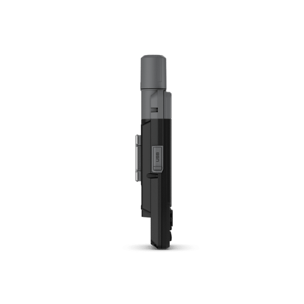
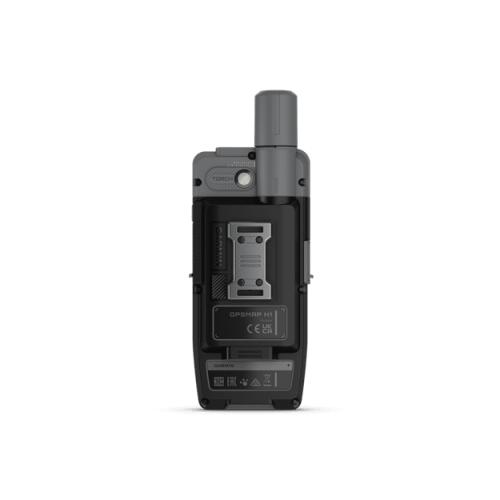
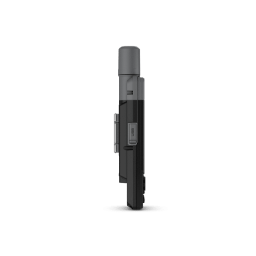
Purpose-built for rugged outdoor adventures, GPSMAP H1 can withstand weather and extreme temperatures. They have been rigorously tested to meet MIL-STD 810 for thermal, shock, dust and water (IP67) and vibration. The all-new, hybrid design introduces a durable touchscreen and intuitive push buttons for more versatility when operating in weather and when wearing gloves. The quick action button lets users customize the device’s functions to their specific needs
NEW! FLASHLIGHT AND SIREN
Use the built-in bright LED flashlight torch as a beacon or to light your way when the path goes dark. A loud built-in siren can help draw attention if you are in need.
NEW! GARMIN SHARE
Easily share saved locations and courses with friends’ compatible Garmin devices.
NEW! OUTDOOR MAPS+
Purchase an Outdoor Maps+ plan for access to a variety of premium mapping content across the globe. The subscription is updated regularly and sent to your device over Wi-Fi.
Plus, MORE Great Features of GPSMAP H1
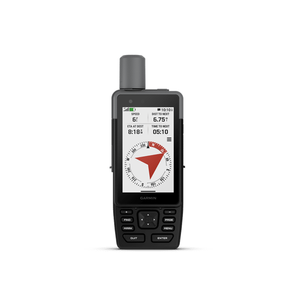
ADVANCED NAVIGATION
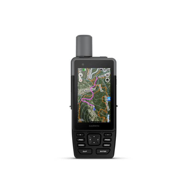
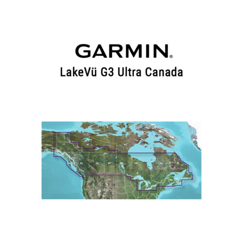
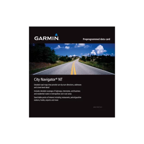
Navigate with preloaded TopoActive maps for the U.S., Mexico and Canada — and easy-to-access global maps. See terrain contours, elevations, geographical points and more.
SATELLITE IMAGERY
Download high-resolution photorealistic maps directly to your device via Wi-Fi® technology. Find trails, pick stand locations and parking, create waypoints and more.
LOCATION ACCURACY
Get multi-band GPS and multi-GNSS support for superior positional accuracy.
BATTERY LIFE
Long-lasting battery life allows for up to 145 hours in all satellite systems + multi-band mode (assuming typical use with SatIQ™ technology).
ON THE GO
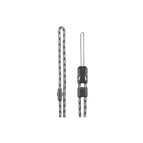
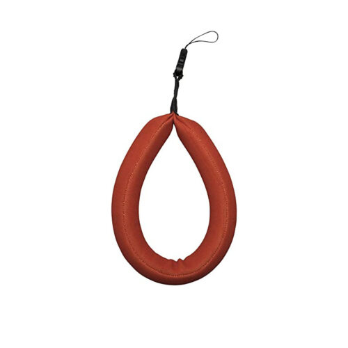
This device has an integrated Spine Mount 2 and includes a removable loop carabiner for more versatility on your adventure. It’s also compatible with additional Spine Mount 2 accessories, sold separately.
GARMIN WEATHER
Get real-time forecast information so you’re aware of the changing conditions. This feature requires an active Wi-Fi connection, or an active cellular connection and use of the compatible mobile app (Garmin Explore app) on your paired smartphone. With an active inReach satellite subscription and use of GPSMAP H1i Plus, you can also travel beyond cell coverage and access weather updates via satellite for your current location, route destination and more.
ABC SENSORS
Get a built-in altimeter for elevation data, a barometer to monitor weather and a 3-axis electronic compass to provide direction.
PLAN YOUR TRIPS
Enjoy seamless trip planning with the ability to easily locate geographic points, share your course and more. This requires an active Wi-Fi connection, or cellular connection with use of the Garmin Explore app on your compatible smartphone.
ASCENT PLANNING
See upcoming climbs on your route, when they will occur and how steep they will be.
| Weight | 1.022 lbs |
|---|---|
| Dimensions | 1.8 × 5.4 × 7.8 in |
| Brand | Garmin |
Video
Specifications
Garmin GPSMAP H1 Specifications
General |
|
| Lens Material | chemically strengthened glass |
|---|---|
| Dimension | 2.6″ x 7.0″ x 1.3″ (6.7 cm x 17.9 cm x 3.3cm) |
| Weight | 9.7 oz (276 g) |
| Water rating | IP67 |
| MIL-STD-810 | yes (thermal, shock, water); bare unit only |
| Touchscreen | ✔ |
| Display Type | transflective color TFT |
| Display Size | 1.9″W x 3.0″H (4.7 x 7.7 cm), 3.5″ diagonal (8.9 cm) |
| Display Resolution | 282 x 470 pixels |
| Battery type | rechargeable, internal lithium-ion |
| Battery life | All Satellite Systems + Multi-band: Up to 145 hours* Expedition mode: Up to 840 hours*Assuming typical use with SatIQ™ technology |
| Memory/History | 64 GB (user space varies based on included mapping) |
| Interface | USB-C |
Maps & Memory |
|
| Preloaded maps | yes (TopoActive, routable) |
| Ability to add maps | ✔ |
| Basemap | ✔ |
| Automatic routing (turn by turn routing on roads) for outdoor activities | ✔ |
| Map segments | yes (15,000) |
| Satellite Imagery | yes (direct to device) |
| Includes detailed hydrographic features (coastlines, lake/river shorelines, wetlands and perennial and seasonal streams) | ✔ |
| Includes searchable points of interests (parks, campgrounds, scenic lookouts and picnic sites) | ✔ |
| Displays national, state and local parks, forests, and wilderness areas | ✔ |
| External memory storage | yes (1 TB max microSD card) |
| Waypoints | ✔ |
| Courses | unlimited |
| Activities | 200 |
| Activity profiles | ✔ |
| GPX imports | ✔ |
| Rinex logging | ✔ |
Sensors |
|
| GPS | ✔ |
| Galileo | ✔ |
| QZSS | ✔ |
| BeiDou | ✔ |
| IRNSS | ✔ |
| Barometric altimeter | ✔ |
| Compass | Yes (tilt-compensated 3-axis) |
| High-sensitivity receiver | ✔ |
| GPS compass (while moving) | ✔ |
| Multi-band frequency support | ✔ |
Daily Smart Features |
|
| Connect IQ™ (downloadable watch faces, data fields and apps) | ✔ |
| Smart notifications on handheld | ✔ |
| Weather | ✔ |
| Pairs with Garmin Connect™ Mobile | ✔ |
| Garmin Share | ✔ |
| Passcode | ✔ |
| Auto correct keyboard | ✔ |
Safety and Tracking Features |
|
| LiveTrack | ✔ |
| Safety siren | ✔ |
Tactical Features |
|
| Compatible with AB Quantam – Garmin | ✔ |
| Ballistics solver | yes (unlock required) |
| Dual grid coordinates | ✔ |
| Night vision mode | ✔ |
Outdoor Recreation |
|
| Point-to-point navigation | ✔ |
| Spoken turn-by-turn directions | ✔ |
| TracBack® | ✔ |
| Area calculation | ✔ |
| Sun and moon information | ✔ |
| Geocaching-friendly | yes (Geocache Live) |
| Custom maps compatible | yes (500 custom map tiles) |
| Picture viewer | ✔ |
| inReach remote widget | ✔ |
| LED beacon flashlight | ✔ |
| Flashlight | ✔ |
inReach® Features |
|
| inReach remote compatible | ✔ |
Outdoor Applications |
|
| Compatible with Garmin Explore™ app | ✔ |
| Garmin Explore website compatible | ✔ |
| Dog tracking | yes (when paired to compatible dog track system) |
Connections |
|
| Connections Wireless Connectivity | yes (Wi-Fi®, BLUETOOTH®, ANT+®) |
Product Comparison
Package Includes
In the Box:
- GPSMAP® H1
- Loop Carabiner
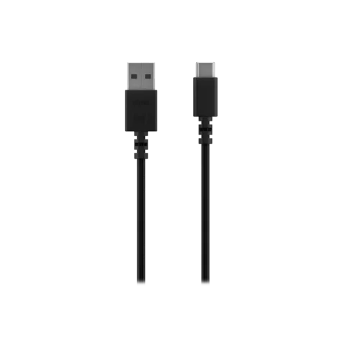
- Charging/Data Cable
- Documentation
Product Guides & Documentation
Accessories
Optional Accessories …

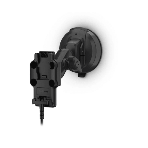
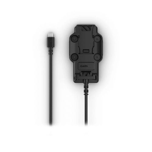
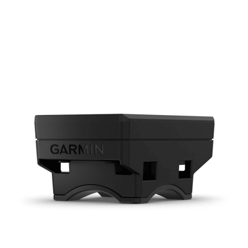
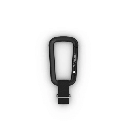
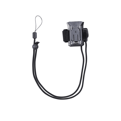
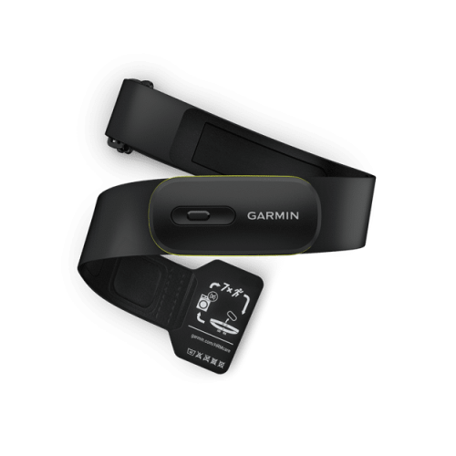

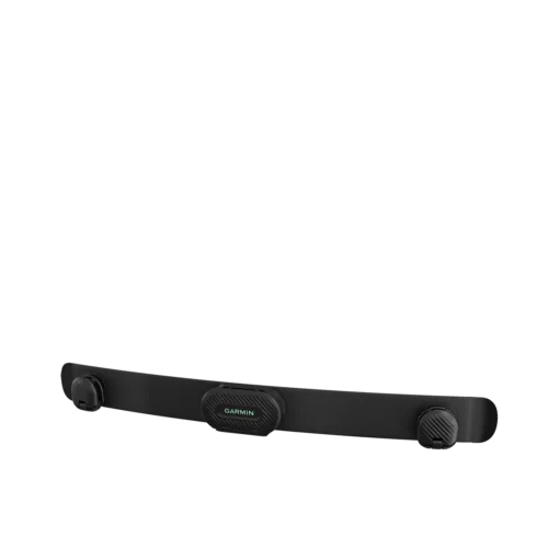
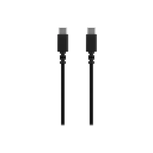


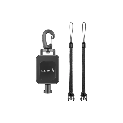
Optional Accessories …