


Garmin GPSMAP 1543xsv
$6,299.99
In stock
- Description
- Additional information
- Video
- Specifications
- Package Includes
- Product Guides & Documentation
- Accessories
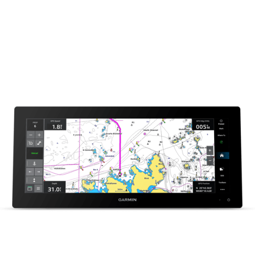
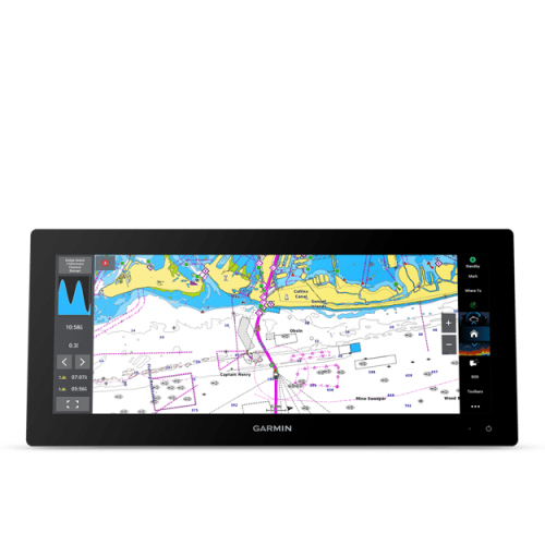
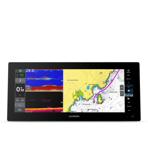
Offering a sleek aesthetic in a 15″ edge-to-edge glass format, the GPSMAP 1543xsv chartplotter expands your viewing horizons. Its ultrawide, highresolution IPS touchscreen is 74% wider with more pixels than a standard 9″ chartplotter. Plot your course with optional preloaded Garmin Navionics+™ mapping — or upgrade to premium Garmin Navionics Vision+™ charts for high-resolution relief shading and more. It also features built-in Ultra High-Definition SideVü™ and ClearVü™ scanning sonars and supports 1 kW CHIRP traditional sonar as well (transducer required; sold separately). Integrate multiple devices — from compatible Panoptix™ and LiveScope™ sonar to autopilots, radar, cameras and multimedia systems — by using Garmin OneHelm™, NMEA 2000® and NMEA 0183 networking, J1939 for engines and the Garmin Marine Network. Easily pair your plotter with your other compatible Garmin devices, such as quatix® smartwatches, wind transducers, wireless remote controls and more.
Key Features of GPSMAP 1543xsv
SLEEK AND MODERN DESIGN
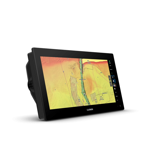
Offering a modern design, with minimal trim borders and edge-toedge glass, the GPSMAP 1543 chartplotter features an ultrawide, high-resolution touchscreen interface with the familiar, easy-to-use functionality of our existing GPSMAP x3 series chartplotters.
BRIGHT AND CLEAR OPTICS
This versatile chartplotter’s ultrawide IPS display provides wider viewing angles, accurate colors, superior clarity and sunlight readability — even with polarized sunglasses.
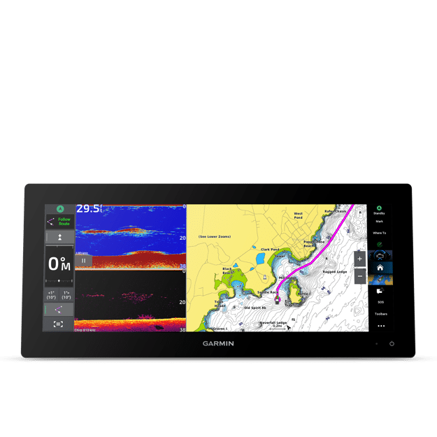
SPLIT TO FIT
Experience the benefits of split screens on an ultrawide display. Split-screen control lets you size and organize your display configuration to put the data you need right where you want it.
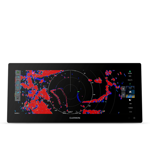
LIVE SONAR SUPPORT
Pair with Panoptix™ or LiveScope™ easy-to-interpret live sonar (transducer required; sold separately) to see all around your boat in real time.
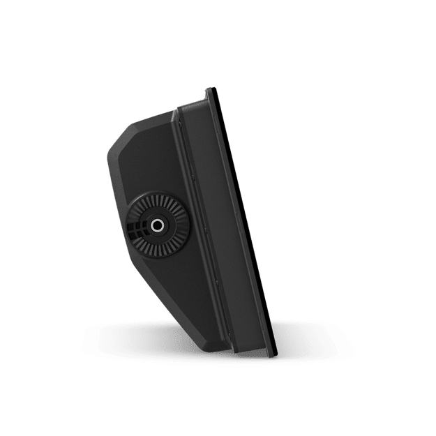
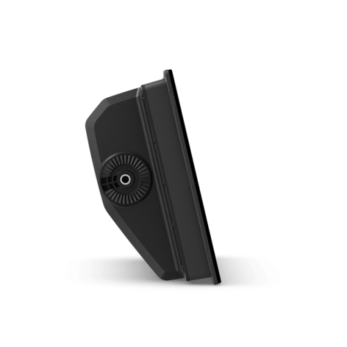
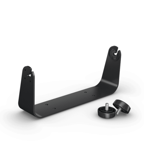
TWO MOUNTING OPTIONS
A bail-mount option with inset knobs and a bracket supports unique “floating display” installations, while a rear-mount option is provided for secure flush- and flat-mount helm solutions.
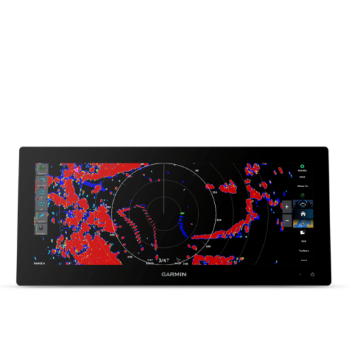
TRADITIONAL AND SCANNING SONAR
Get built-in support for 1 kW CHIRP traditional sonar for superior target separation. Plus, Ultra High-Definition ClearVü™ and SideVü™ scanning sonars feature vivid, high-contrast color palettes to help distinguish fish from structure (transducer required; sold separately).
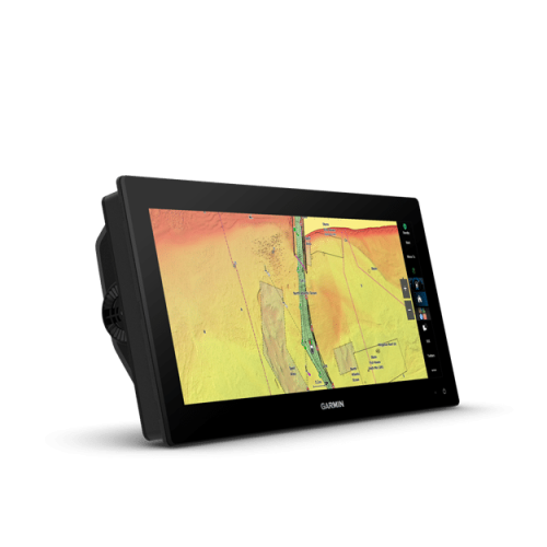
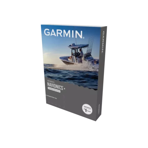
PRELOADED MAPPING
Experience unparalleled coverage and detail with built-in Garmin Navionics+™ integrated coastal and inland mapping that includes Auto Guidance+™ technology1 and a 1-year subscription for downloadable daily updates and more on select models.
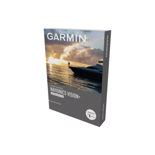
OPTIONAL CHARTS AND MAPS
Bring premium chart features to your chartplotter with an optional upgrade to a Garmin Navionics Vision+™ subscription, featuring downloadable high-resolution relief shading, satellite imagery, sonar imagery and more.
GARMIN SAILASSIST™ SAILING FEATURES
View laylines, race start line guidance, enhanced wind rose, heading and course-over-ground lines, true wind data fields and tide/current/time slider, wind angle, set and drift, wind speed and more.
SAILING POLARS
Use the polar table to see key data, including how fast you should go at a certain wind angle and speed — so you know whether you need to adjust sail trim.
GARMIN MARINE NETWORK
If you have multiple compatible Garmin devices on your boat, you can share information — such as maps, user data, radar and IP camera video — among them.
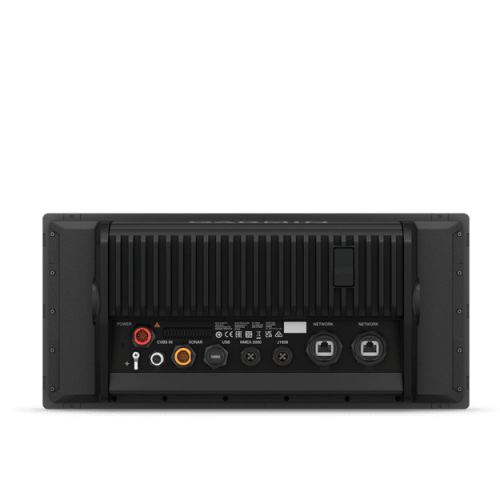
NMEA 2000® AND NMEA 0183 NETWORKS
Connect to compatible autopilots, digital switching, weather, the Fusion® audio system, media, VHF, AIS and more from one screen.
ACTIVECAPTAIN® APP
Built-in Wi-Fi® connectivity pairs with the free all-in-one mobile app for access to the OneChart™ feature, smart notifications (when paired with your compatible smartphone), software updates, Helm™ app, Garmin Quickdraw™ Community data and more2.
INTEGRATED ANT® TECHNOLOGY
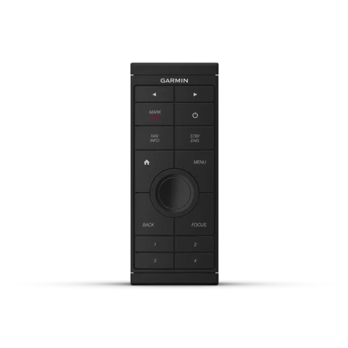
Connect with some of your favorite devices, such as quatix® marine watches, gWind™ Wireless 2 transducers, GNX™ Wind marine instruments and wireless remote controls.
ENGINE CONNECTIVITY
You can connect your chartplotter to different engines, including select Yamaha® and Mercury® engines.
ONEHELM™ FEATURE
This feature brings together the operations and capabilities of Garmin EmpirBus™ digital switching and other third-party devices to one screen.
SEND INREACH® DEVICE MESSAGES
Pair your inReach satellite communicator3 to your chartplotter, and type custom messages by using your MFD’s on-screen keyboard. Access your contact list, or enter an email, inReach address or phone number. You can also group messages by conversation for a texting-like experience.
POWER-POLE® SHALLOW WATER ANCHOR
By networking the GPSMAP 1543 chartplotter with your Force® trolling motor and your compatible Power-Pole shallow water anchoring system, you can access advanced boat control features4 from your plotter, including smart anchor auto-deployment, smart anchor jog, auto stow, anchor drag detection and end-of-route anchoring. Spend more time fishing, less time positioning.
TROLLING MOTOR INTEGRATION
Get support and integration for your Force series trolling motor (sold separately) to gain more control while you fish.
1Auto Guidance+™ is for planning purposes only and does not replace safe navigation operations
2Requires ActiveCaptain® app on your compatible smartphone paired to your chartplotter
3Active satellite subscription required. Some jurisdictions regulate or prohibit the use of satellite communication devices. It is the responsibility of the user to know and follow all applicable laws in the jurisdictions where the device is intended to be used.
4Integration of these features requires purchase of a C-Monster® GATEWAY through Power-Pole
| Weight | 13.7 lbs |
|---|---|
| Dimensions | 10.6 × 19.2 × 7.2 in |
| Brand | Garmin |
Video
Specifications
Garmin GPSMAP 1543xsv Specs
General |
|
| Dimension | 15.3″ x 7.02″ x 3.3″ (388.9 x 178.5 x 82.9 mm) |
|---|---|
| Weight | 7.2 lbs (3.26kg) |
| Water rating | IPX7 |
| Touchscreen | ✔ |
| Display Type | Ultrawide display, IPS |
| Display Size | 13.6″ x 5.1″; 14.5″ diagonal (34.6 x 12.9 cm; 36.8 cm diagonal) |
| Display Resolution | 1920 x 720 pixels |
| Mounting Options | Bail, flush or flat (Garmin does not offer any hardware or accessories for a flat-mount installation. Professional tools and knowledge is required.) |
| Polarized lens viewability | ✔ |
Maps & Memory |
|
| Accepts Data Cards | 2 microSD™ cards (back of device) |
| Compatible with Garmin SD card reader | yes (USB card reader) |
| Waypoints | 5000 |
| Track points | 50,000 |
| Tracks | 50 saved tracks |
| Navigation Routes | 100 |
Sensors |
|
| GPS | ✔ |
| GLONASS | ✔ |
| Galileo | ✔ |
| Has built-in receiver | ✔ |
| Receiver | 10 Hz |
| NMEA 2000 Compatible | ✔ |
| NMEA 0183 Compatible | ✔ |
| Supports WAAS | ✔ |
| Supports multi-band, multi-constellation GPS | yes (with external GPS antenna) |
Built-in Maps |
|
| Built-in Auto Guidance+ | ✔ |
| Garmin Navionics+ Inland & Coastal | ✔ |
| Tide tables | ✔ |
Optional Map Support |
|
| BlueChart g3 | ✔ |
| BlueChart g3 Vision | ✔ |
| LakeVü g3 | ✔ |
| LakeVü g3 Ultra | ✔ |
| Garmin Navionics+™ | ✔ |
| Garmin Navionics Vision+™ | ✔ |
| TOPO 100K | ✔ |
| Standard Mapping | ✔ |
| Garmin Quickdraw Contours | ✔ |
| Raster chart support | ✔ |
Chartplotter Features |
|
| Smart Mode Compatible | ✔ |
| AIS | ✔ |
| DSC | ✔ |
| Supports Fusion-Link™ compatible radios | ✔ |
| GSD Black Box Sonar Support | ✔ |
| GCV Black Box Sonar Support | ✔ |
| ActiveCaptain® compatible | yes |
| Supports voice commands | yes (with external accessory) |
| GRID (Garmin Remote Input Device) compatible | ✔ |
| Wireless Remote Compatible | ✔ |
| Sailing Features | ✔ |
| Spoken audio alerts | ✔ |
| OneHelm support | ✔ |
Electrical Features |
|
| Power Input | 10 to 32 Vdc |
| Typical current draw at 12 Vdc | 2.44 A |
| Maximum current draw at 12 Vdc | 4.21 A |
| Maximum power usage at 10 Vdc | 56.93 W |
Sonar Features |
|
| Displays sonar | ✔ |
| Power output | 1 kW |
| Traditional sonar (dual frequency/beam) | ✔ |
| ClearVü | ✔ |
| SideVü | Built-in 260/455/800/1000/1200 kHz |
| Panoptix™ sonar | ✔ |
| LiveScope | ✔ |
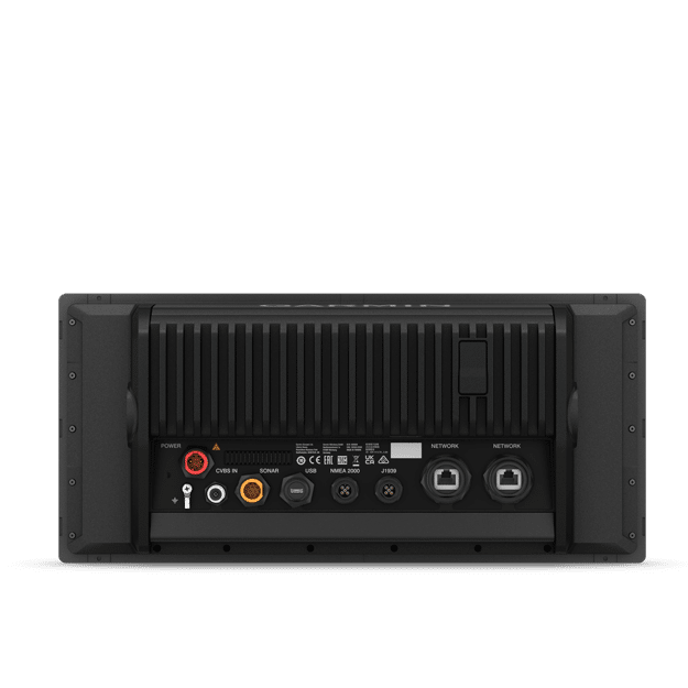
Connections |
|
| NMEA 2000® ports | 1 |
| NMEA 0183 Input (Rx) Ports | 1 |
| NMEA 0183 output (Tx) ports | 1 |
| Video input ports | 1 (BNC composite) |
| J1939 ports | 1 |
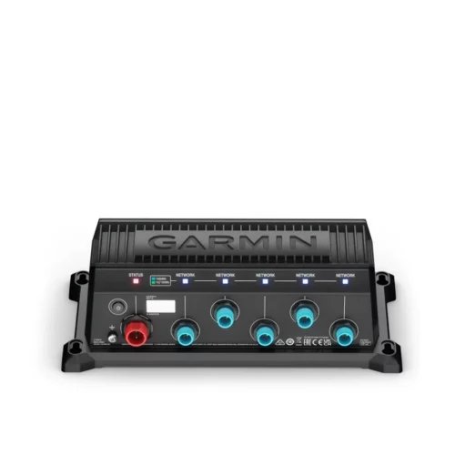
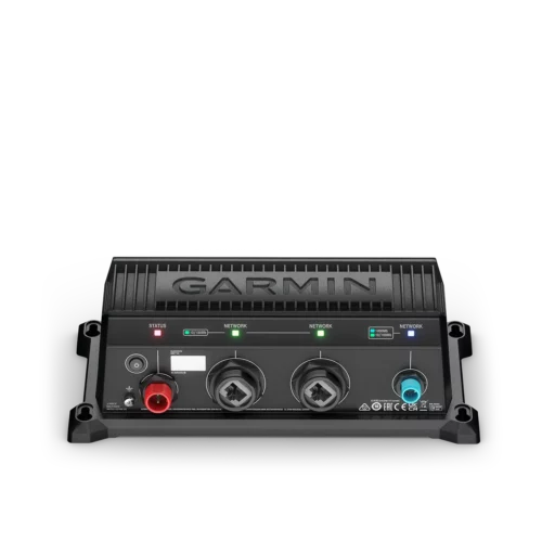
| Garmin Marine Network Ports | 2 |
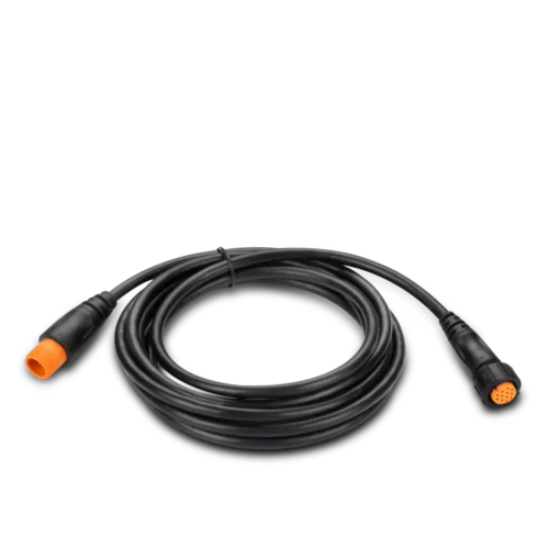
| 12-pin transducer ports | 1 |
| USB ports | ✔ |
| BLUETOOTH® pairing | yes (BLE) |
| ANT® (Connectivity) | ✔ |
| Garmin Wi-Fi network (local connection) | ✔ |
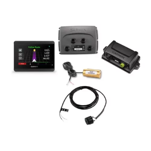
Package Includes
In the Box:
- GPSMAP 1543xsv ultrawide chartplotter
- microSD™ card preinstalled
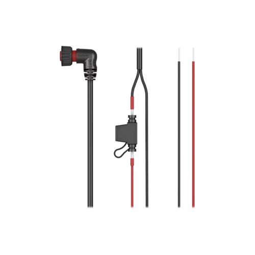
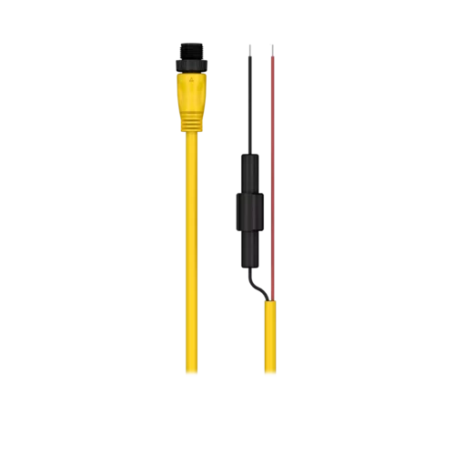
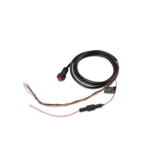
- Power cable
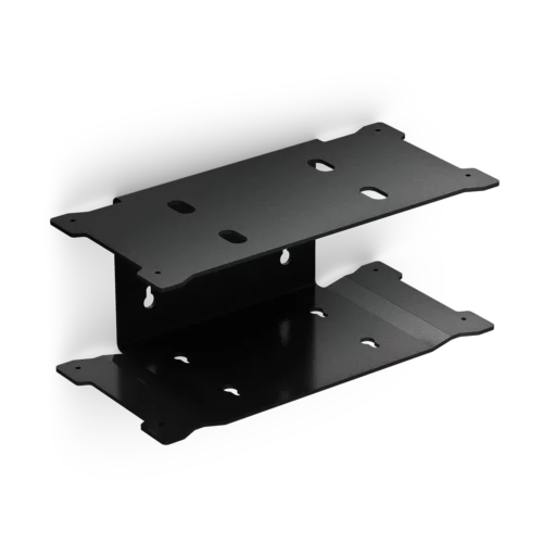
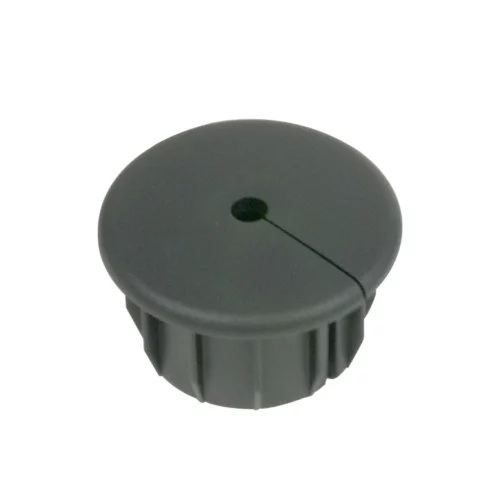
- Thin flush mount kit with gasket
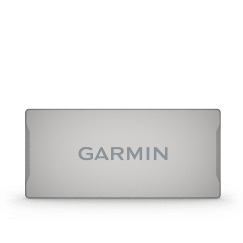
- Protective cover
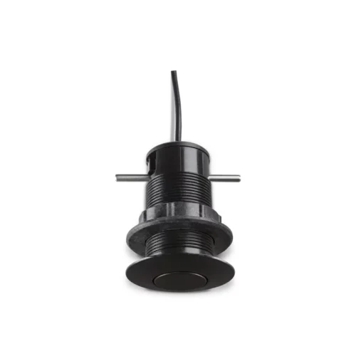
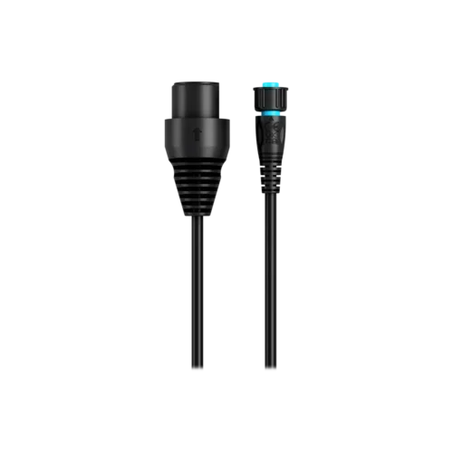
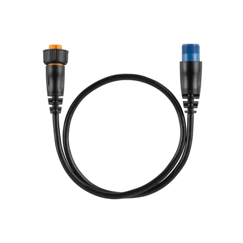
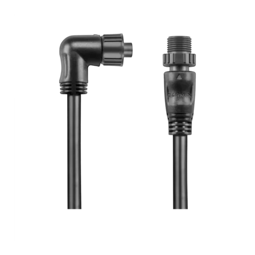
- 8-pin transducer to 12-pin sounder adapter cable
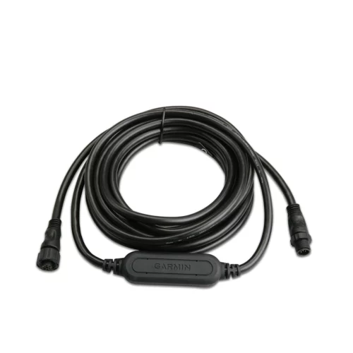
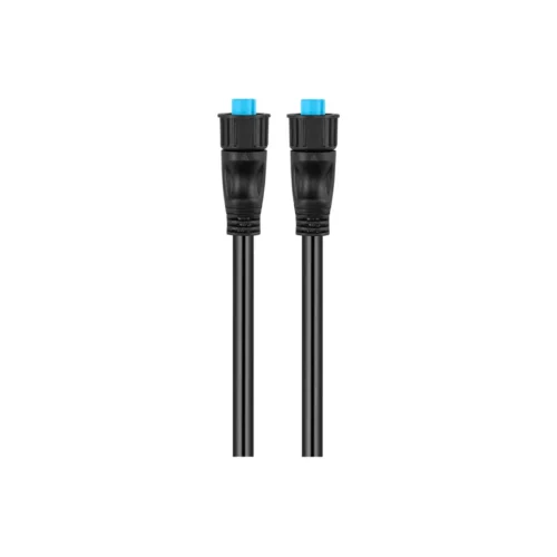
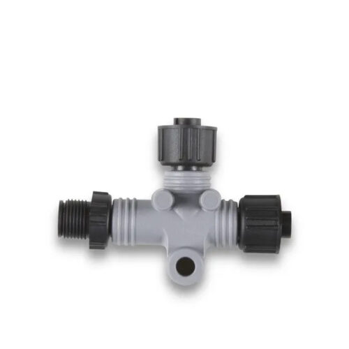
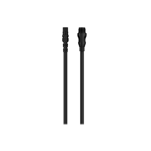
- 2 m backbone/drop cable and T-connector for NMEA 2000® Network
- Documentation
Product Guides & Documentation
Accessories
Optional Accessories …
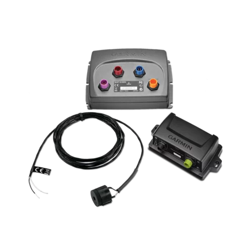
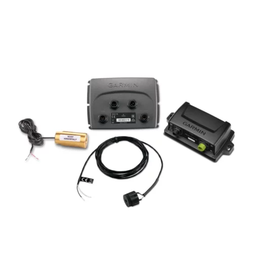
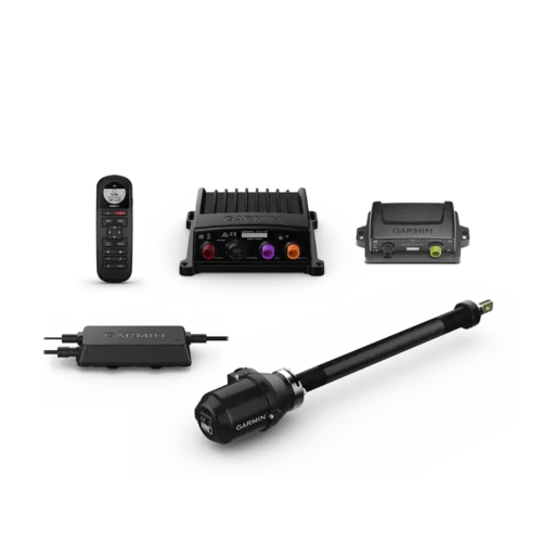
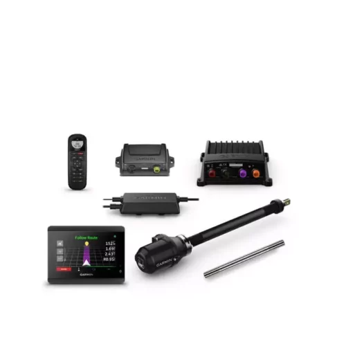
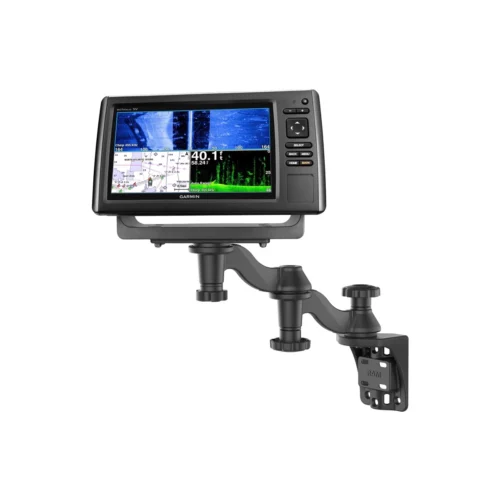
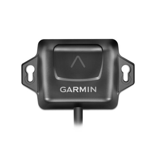
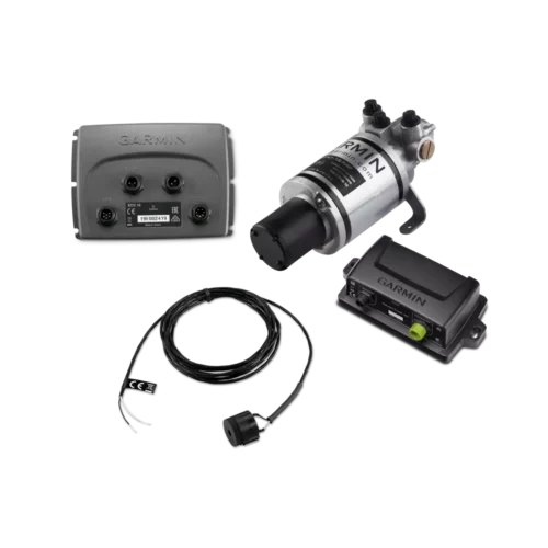
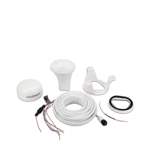
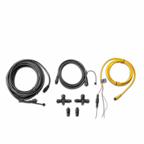
Optional Accessories …