GARMIN HANDHELD AND OUTDOOR GPS
Garmin outdoor GPS units are handheld units that you can take with you while you’re hiking, biking and exploring. From basic handheld GPS units to full-feature GPS with two-way radio, we have the right GPS to get you outdoors.
This page includes a full features comparison of our most popular handheld GPS units.
Are you interested in comparing just a specific series? You may want to check out these other comparison pages:
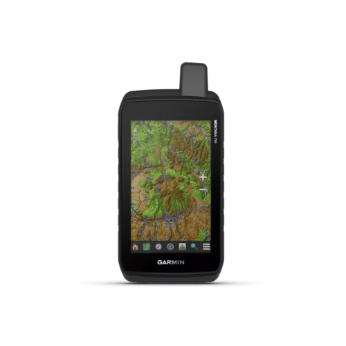
- Garmin Montana Series Comparison
- Garmin eTrex Series Comparison
- Garmin Rino Series Comparison
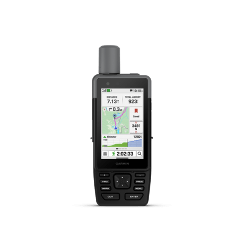
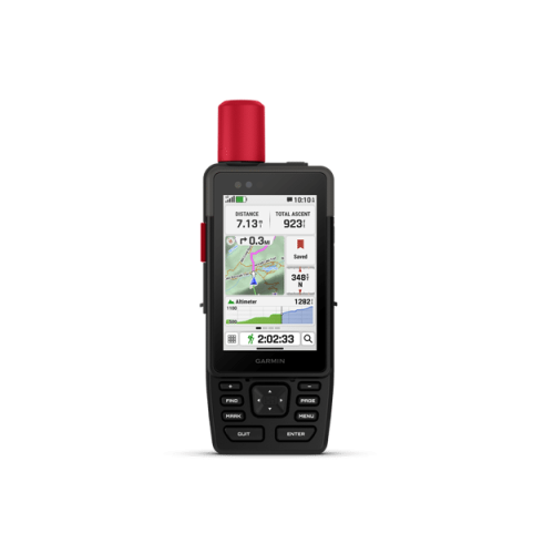
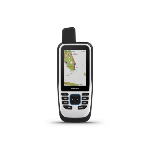
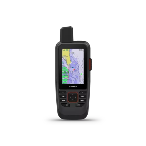
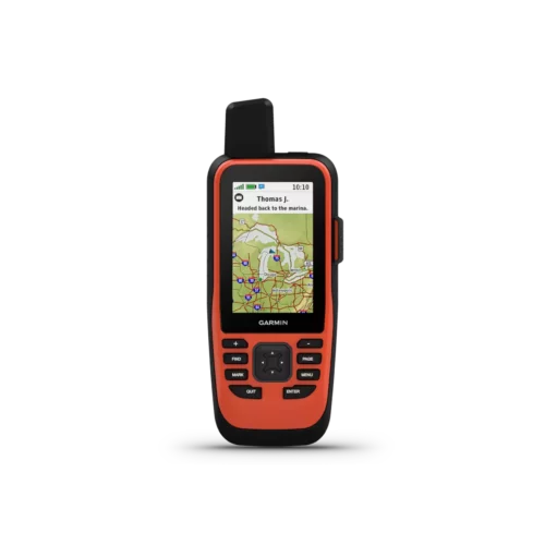
- Garmin GPSMAP 64, 65, 66, 67 & H1 Series Comparison
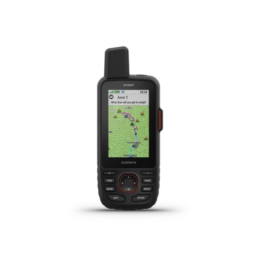
- Garmin GPSMAP 78, 79 & 86 Series Comparison
- Still not sure? Check out our handy FAQs on handhelds
-
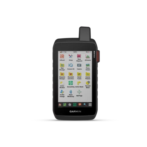 Garmin Montana 760i$1,319.99
 -
 Garmin Montana 710i$1,159.99
 -
 Garmin Montana 710$949.99
 -
 Garmin Montana 700i$889.99
 -
 Garmin Montana 750i$999.95
 -
 Garmin Montana 700$749.95
| Product | Montana 700 | Montana 710 | Montana 700i | Montana 710i | Montana 750i | Montana 760i | Montana 680 discontinued |
|---|---|---|---|---|---|---|---|
| General | |||||||
| Unit Dimensions | 3.4″ x 7.2″ x 1.3″ (8.76 x 18.30 x 3.27 cm) | 3.4″ x 7.2″ x 1.3″ (8.76 x 18.30 x 3.27 cm) | 3.4″ x 7.2″ x 1.3″ (8.76 x 18.30 x 3.27 cm) | 3.4″ x 7.2″ x 1.3″ (8.76 x 18.30 x 3.27 cm) | 3.4″ x 7.2″ x 1.3″ (8.76 x 18.30 x 3.27 cm) | 3.4″ x 7.2″ x 1.3″ (8.76 x 18.30 x 3.27 cm) | 3.4″ x 7.2″ x 1.3″ (8.76 x 18.30 x 3.27 cm) |
| Touchscreen | ✅ | ✅ | ✅ | ✅ | ✅ | ✅ | ✅ |
| Display Size | 2.55″W x 4.25″H (6.48 x 10.80 cm); 5″ diag (12.70 cm) | 2.55″W x 4.25″H (6.48 x 10.80 cm); 5″ diag (12.70 cm) | 2.55″W x 4.25″H (6.48 x 10.80 cm); 5″ diag (12.70 cm) | 2.55″W x 4.25″H (6.48 x 10.80 cm); 5″ diag (12.70 cm) | 2.55″W x 4.25″H (6.48 x 10.80 cm); 5″ diag (12.70 cm) | 2.55″W x 4.25″H (6.48 x 10.80 cm); 5″ diag (12.70 cm) | 2″W x 3.5″H (5.06 x 8.93 cm); 4″ diag (10.2 cm) |
| Display Resolution | 480 x 800 pixels | 480 x 800 pixels | 480 x 800 pixels | 480 x 800 pixels | 480 x 800 pixels | 480 x 800 pixels | 272 x 480 pixels |
| Display Type | WVGA transflective, dual orientation; sunlight readable | WVGA transflective, dual orientation | WVGA transflective, dual orientation; sunlight readable | WVGA transflective, dual orientation | WVGA transflective, dual orientation; sunlight readable | WVGA transflective, dual orientation | bright, transflective 65k color TFT, dual-orientation touchscreen; sunlight readable |
| Weight | 14.0 oz (397 g) with included lithium-ion battery pack | 14.5 oz (410 g) with included lithium-ion battery pack | 14.5 oz (410 g) with included lithium-ion battery pack | 14.5 oz (410 g) with included lithium-ion battery pack | 14.5 oz (410 g) with included lithium-ion battery pack | 14.5 oz (410 g) with included lithium-ion battery pack | 10.2 oz (289 g) with included lithium-ion battery pack; 11.7 oz (333 g) with 3 AA batteries (not included) |
| Battery | rechargeable lithium-ion (included) or 3 AA batteries (not included); lithium recommended | rechargeable lithium-ion (included) | rechargeable lithium-ion (included) | rechargeable lithium-ion (included) | rechargeable lithium-ion (included) | rechargeable lithium-ion (included) | rechargeable lithium-ion (included) or 3 AA batteries (not included); NiMH or Lithium recommended |
| Battery life | GPS Mode: up to 18 hours Expedition Mode: up to 330 hours |
GPS Mode: up to 24 hours Note – Battery life estimates are with full sky view and can be significantly impacted by obstructions or tree cover. | GPS Mode: up to 18 hours GPS Mode, 10 min Tracking: up to 18 hours Expedition Mode: up to 330 hours Expedition Mode, 30 min Tracking: up to 300 hours |
GPS Mode: up to 24 hours Note – Battery life estimates are with full sky view and can be significantly impacted by obstructions or tree cover. | GPS Mode: up to 18 hours GPS Mode, 10 min Tracking: up to 18 hours Expedition Mode: up to 330 hours Expedition Mode, 30 min Tracking: up to 300 hours |
GPS Mode: up to 24 hours Note – Battery life estimates are with full sky view and can be significantly impacted by obstructions or tree cover. | up to 16 hours (lithium-ion); up to 22 hours (AA batteries) |
| Waterproof | ✅ (IPX 7) | ✅ (IPX 7) | ✅ (IPX 7) | ✅ (IPX 7) | ✅ (IPX 7) | ✅ (IPX 7) | ✅ (IPX 7) |
| MIL-STD-810 | ✅ (Thermal, Shock, Water, Vibe) | ✅ (Thermal, Shock, Water, Vibe) | ✅ (Thermal, Shock, Water, Vibe) | ✅ (Thermal, Shock, Water, Vibe) | ✅ (Thermal, Shock, Water, Vibe) | ✅ (Thermal, Shock, Water, Vibe) | ❌ |
| Interface | high-speed USB and NMEA 0183 compatible | USB Type-C | high-speed USB and NMEA 0183 compatible | high-speed micro USB-C | high-speed USB and NMEA 0183 compatible | high-speed micro USB-C | high-speed USB and NMEA 0183 compatible |
| Memory/History | 16 GB (user space varies based on included mapping) | 32 GB (user space varies based on included mapping) | 16 GB (user space varies based on included mapping) | 32 GB (user space varies based on included mapping) | 16 GB (user space varies based on included mapping) | 32 GB (user space varies based on included mapping) | 4 GB |
| Maps & Memory | |||||||
| Basemap | ✅ | ✅ | ✅ | ✅ | ✅ | ✅ | ✅ |
| Ability to add maps | ✅ | ✅ | ✅ | ✅ | ✅ | ✅ | ✅ |
| Preloaded maps | ✅ (TopoActive, by region; Federal Public Lands maps, U.S. only) | ✅ (TopoActive | ✅(TopoActive, by Region; City Navigator Maps, North America; Federal Public Lands Map, US only) | ✅ (TopoActive | ✅ (TopoActive, by Region; City Navigator Maps, North America; Federal Public Lands Map, US only) | ✅ (TopoActive | ❌ |
| Automatic routing (turn by turn routing on roads) for outdoor activities | ✅ (with optional mapping for detailed roads) | ✅ | ✅ | ✅ | ✅ | ✅ | ✅ (with optional mapping for detailed roads) |
| Automatic routing (turn by turn routing on roads) for motorized vehicles | ✅ (with optional mapping for detailed roads) | ❌ | ✅ | ✅ | ✅ | ✅ | ✅ (with optional mapping for detailed roads) |
| Map Segments | 15000 | 15000 | 15000 | 15000 | 15000 | 15000 | 4000 |
| Satellite Imagery How to Install BirdsEye on Montana 700 Series | ✅ (BirdsEye Direct) | ✅ (direct to device) | ✅(BirdsEye Direct) | ✅ (direct to device) | ✅ (BirdsEye Direct) | ✅ (direct to device) | 1 year subscription included but since has been discontinued |
| Includes detailed hydrographic features (coastlines, lake/river shorelines, wetlands and perennial and seasonal streams) | ✅ | ✅ | ✅ | ✅ | ✅ | ✅ | no (additional mapping needed) |
| Includes searchable points of interests (parks, campgrounds, scenic lookouts and picnic sites) | ✅ | ✅ | ✅ | ✅ | ✅ | ✅ | no (additional mapping needed) |
| Displays national, state and local parks, forests, and wilderness areas | ✅ | ✅ | ✅ | ✅ | ✅ | ✅ | no (additional mapping needed) |
| External memory storage | ✅(32 GB max microSD™ card) | ✅(32 GB max microSD™ card) | ✅ (32 GB max microSD™ card) | ✅(32 GB max microSD™ card) | ✅ (32 GB max microSD™ card) | ✅(32 GB max microSD™ card) | ✅(32 GB max microSD™ card) |
| Waypoints/favorites/locations | 10,000 | 10,000 | 10,000 | 10,000 | 10,000 | 10,000 | 4,000 |
| Courses | 250, 200 course points per course | 250, 200 course points per course | 250, 200 course points per course | ||||
| Tracks | 250 | 250 | 250 | 250 | 250 | 250 | 200 |
| Navigation Track Log | 20000 points, 250 saved gpx tracks, 300 saved fit activities | 20,000 points, 250 saved gpx tracks, 300 saved fit activities | 20000 points, 250 saved gpx tracks, 300 saved fit activities | 20,000 points, 250 saved gpx tracks, 300 saved fit activities | 20000 points, 250 saved gpx tracks, 300 saved fit activities | 20,000 points, 250 saved gpx tracks, 300 saved fit activities | 10,000 points, 200 saved tracks |
| Navigation Routes | 250, 250 points per route; 50 points auto routing | 250, 250 points per route; 50 points auto routing | 250, 250 points per route; 50 points auto routing | 250, 250 points per route; 50 points auto routing | 250, 250 points per route; 50 points auto routing | 250, 250 points per route; 50 points auto routing | 200, 250 points per route; 50 points auto routing |
| RINEX Logging | ✅ | ✅ | ✅ | ✅ | ✅ | ✅ | ❌ |
| Sensors | |||||||
| High-sensitivity receiver | ✅ | ✅ | ✅ | ✅ | ✅ | ✅ | ✅ |
| GPS, GLONASS & Galileo | GPS, GLONASS & Galileo | GPS, GLONASS & Galileo | GPS & Galileo | GPS & Galileo | GPS & Galileo | GPS & Galileo | GPS & GLONASS |
| Barometric altimeter | ✅ | ✅ | ✅ | ✅ | ✅ | ✅ | ✅ |
| Electronic Compass | ✅ (tilt-compensated, 3-axis) | ✅ (tilt-compensated, 3-axis) | ✅ (tilt-compensated, 3-axis) | ✅ (tilt-compensated, 3-axis) | ✅ (tilt-compensated, 3-axis) | ✅ (tilt-compensated, 3-axis) | ✅ (tilt-compensated, 3-axis) |
| GPS compass (while moving) | ✅ | ✅ | ✅ | ✅ | ✅ | ✅ | ✅ |
| Daily Smart Features | |||||||
| Connect IQ™ (downloadable watch faces, data fields, widgets and apps) | ✅ | ✅ | ✅ | ✅ | ✅ | ✅ | ❌ |
| Smart notifications on handheld | ✅ | ✅ | ✅ | ✅ | ✅ | ✅ | ❌ |
| Weather | ❌ | ✅ | ✅ | ✅ | ✅ | ✅ | ❌ |
| VIRB® Remote | ✅ | ✅ | ✅ (500 custom map tiles) | ✅ | ✅ (500 custom map tiles) | ✅ | ✅ |
| Pairs with Garmin Connect™ Mobile | ✅ | ✅ | ✅ (Geocache Live) | ✅ | ✅ (Geocache Live) | ✅ | ❌ |
| Active Weather | ✅ | ✅ | ✅ | ✅ | ✅ | ✅ | ❌ |
| Compatible with Garmin Messenger app | ❌ | ✅ | ✅ | ✅ | ✅ | ✅ | ❌ |
| LiveTrack | ✅ | ✅ | ✅ | ✅ | ✅ | ✅ | ❌ |
| Outdoor Recreation | |||||||
| Point-to-point navigation | ✅ | ✅ | ✅ | ✅ | ✅ | ✅ | ✅ |
| TracBack® | ✅ | ✅ | ✅ | ✅ | ✅ | ✅ | ✅ |
| Area Calculations | ✅ | ✅ | ✅ | ✅ | ✅ | ✅ | ✅ |
| Custom POIs | ✅ | ✅ | ✅ | ✅ | ✅ | ✅ | ✅ |
| Hunt/fish calendar | ✅ | ✅ | ✅ | ✅ | ✅ | ✅ | ✅ |
| Sun and moon information | ✅ | ✅ | ✅ | ✅ | ✅ | ✅ | ✅ |
| Ballistics solver | ❌ | ❌ | ❌ | ✅ | ❌ | ✅ | ❌ |
| XERO™ Locations | ✅ | ✅ | ✅ | ✅ | ✅ | ✅ | ❌ |
| Geocaching-friendly | ✅ (Geocache Live) | ✅ (Geocache Live) | ✅ (Geocache Live) | ✅ (Geocache Live) | ✅ (Geocache Live) | ✅ (Geocache Live) | ✅ |
| Custom maps compatible | ✅(500 custom map tiles) | ✅(500 custom map tiles) | ✅ (500 custom map tiles) | ✅(500 custom map tiles) | ✅ (500 custom map tiles) | ✅(500 custom map tiles) | ✅ (500 custom map tiles) |
| Picture viewer | ✅ | ✅ | ✅ | ✅ | ✅ | ✅ | ✅ |
| Camera | ❌ | ❌ | ❌ | ❌ | ✅(8 megapixel with autofocus; automatic geo-tagging) | ✅(8 megapixel with autofocus; automatic geo-tagging) | ✅ (8 megapixel with autofocus; automatic geo-tagging) |
| inReach remote widget | ✅ | ✅ | ❌ | ❌ | ❌ | ❌ | |
| LED beacon flashlight | ✅ | ✅ | ✅ | ✅ | ✅ | ✅ | ❌ |
| inReach Features | |||||||
| Dog Training | ✅ (when paired to compatible dog track system) | ✅ (when paired to compatible dog track system) | ✅ (when paired to compatible dog track system) | ✅ (when paired to compatible dog track system) | ✅ (when paired to compatible dog track system) | ✅ (when paired to compatible dog track system) | ❌ |
| Contacts | ❌ | ❌ | ✅ | ✅ | ✅ | ✅ | ❌ |
| Interactive SOS | ❌ | ❌ | ✅ | ✅ | ✅ | ✅ | ❌ |
| Send and receive text messages to SMS and email | ❌ | ❌ | ✅ | ✅ | ✅ | ✅ | ❌ |
| Send and Receive Text Messages to Other inReach Device | ❌ | ❌ | ✅ | ✅ | ✅ | ✅ | ❌ |
| Send and receive group messages | ❌ | ❌ | ✅ | ✅ | ✅ | ✅ | |
| Exchange Locations with Other inReach Device | ❌ | ❌ | ✅ | ✅ | ✅ | ✅ | ❌ |
| Mapshare Compatible with Tracking | ❌ | ❌ | ✅ | ✅ | ✅ | ✅ | ❌ |
| Virtual Keyboard for Custom Messaging | ❌ | ❌ | ✅ | ✅ | ✅ | ✅ | ❌ |
| Send Waypoints to Mapshare During Trip | ❌ | ❌ | ✅ | ✅ | ✅ | ✅ | ❌ |
| Send Route Selection to Mapshare During the Trip | ❌ | ❌ | ✅ | ✅ | ✅ | ✅ | ❌ |
| inReach remote compatible | ✅ | ✅ | ✅ | ❌ | ✅ | ❌ | ❌ |
| Outdoor Applications | |||||||
| Compatible with Garmin Explore™ app | ✅ | ✅ | ✅ | ✅ | ✅ | ✅ | ❌ |
| Garmin Explore website compatible | ✅ | ✅ | ✅ | ✅ | ✅ | ✅ | ❌ |
| Smart switching between Wi-Fi, Cellular and Satellite with Garmin Messenger app | ❌ | ❌ | ✅ | ✅ | ✅ | ✅ | ❌ |
| Dog tracking | ✅ (when paired to compatible dog track system) | ✅ (when paired to compatible dog track system) | ✅ (when paired to compatible dog track system) | ✅ (when paired to compatible dog track system) | ✅ (when paired to compatible dog track system) | ✅ (when paired to compatible dog track system) | ❌ |
| Connections | |||||||
| Connections Wireless Connectivity | Wi-Fi®, BLUETOOTH®, ANT+® | Wi-Fi®, BLUETOOTH | Wi-Fi®, BLUETOOTH®, ANT+® | Wi-Fi®, BLUETOOTH | Wi-Fi®, BLUETOOTH®, ANT+® | Wi-Fi®, BLUETOOTH | ANT+ |
-
 Garmin GPSMAP H1$979.99
 -
 Garmin GPSMAP H1i Plus$1,449.99
 -
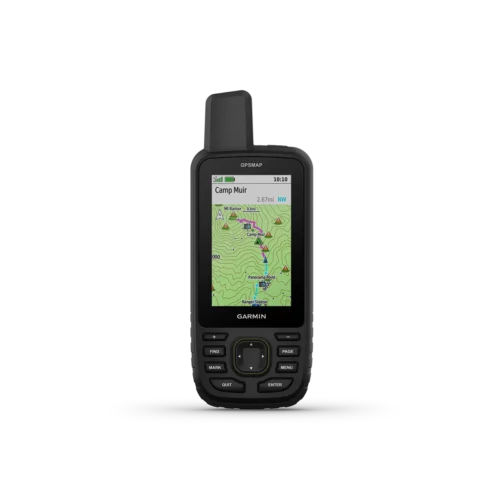
 Garmin GPSMAP 67i$869.99
 -
 Garmin GPSMAP 67$729.99
 -
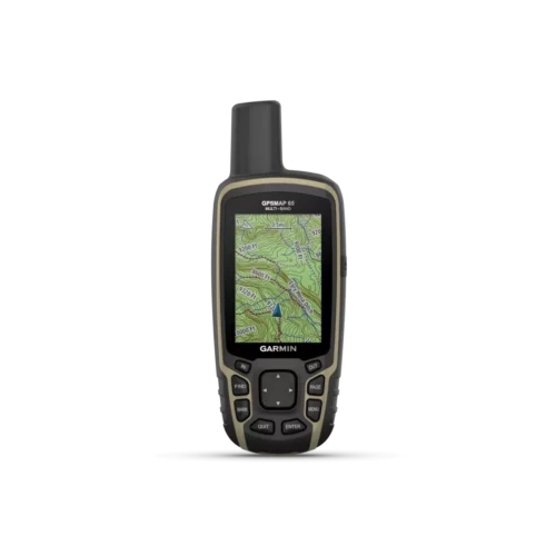 Garmin GPSMAP 65$469.99
 -
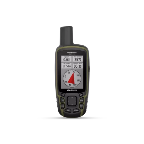 Garmin GPSMAP 65s$489.99
| Garmin Model | GPSMAP 276Cx | GPSMAP H1 | GPSMAP H1i Plus | GPSMAP 67 | GPSMAP 67i | GPSMAP 66s | GPSMAP 66sr | GPSMAP 66i | GPSMAP 65 | GPSMAP 65s |
|---|---|---|---|---|---|---|---|---|---|---|
| Waypoints | 10,000 | ✅ | ✅ | 10,000 | 10,000 | 10,000 | 10,000 | 10,000 | 5000 | 5000 |
| Routes | 250 | ✅ | ✅ | 250 | 250 | 250 | 250 | 250 | 200 | 200 |
| Track log | 20,000 | N/A | N/A | 20,000 | 20,000 | 20,000 | 20,000 | 20,000 | 10,000 | 10,000 |
| Tracks | 250 | N/A | N/A | 250 | 250 | 250 | 250 | 250 | 200 | 200 |
| Display size | 5.0″ diagonal | 3.5″ diagonal | 3.5″ diagonal | 3.0″ diagonal | 3.0″ diagonal | 3.0″ diagonal | 3.0″ diagonal | 3.0″ diagonal | 1.43″ x 2.15″ | 1.43″ x 2.15″ |
| Display resolution | 800 x 480 pixels | 282 x 470 pixels | 282 x 470 pixels | 240 x 400 pixels | 240 x 400 pixels | 240 x 400 pixels | 240 x 400 pixels | 240 x 400 pixels | 160 x 240 pixels | 160 x 240 pixels |
| Built-in memory | 8 GB | 64 GB | 64 GB | 16 GB | 16 GB | 16 GB | 16 GB | 16 GB | 16 GB | 16 GB |
| Expandable memory | ✅ (MicroSD) | ✅ (MicroSD) | ✅ (MicroSD) | ✅ (MicroSD) | ✅ (MicroSD) | ✅ (MicroSD) | ✅ (MicroSD) | ✅ (MicroSD) | ✅ (MicroSD) | ✅ (MicroSD) |
| Battery type | rechargeable Li-Ion/AA | rechargeable, internal lithium-ion | rechargeable, internal lithium-ion | rechargeable, internal lithium-ion | rechargeable, internal lithium-ion | rechargeable Li-Ion/AA | rechargeable, internal lithium-ion | rechargeable, internal lithium-ion | AA | AA |
| Battery life (hours) | 16/8 |
All Satellite Systems + Multi-band: Up to 145 hours* *Assuming typical use with SatIQ™ technology |
All Satellite Systems + Multi-band: Up to 145 hours* *Assuming typical use with SatIQ™ technology | Up to 180 hours in default mode Up to 840 hours in expedition mode | Up to 165 hours with inReach® enabled with 10 minute tracking Up to 180 hours in GPS Mode Up to 425 hours in Expedition mode with inReach enabled Up to 840 hours in Expedition mode | 16/1 week | 36/450 | 35/200 | 16 | 16 |
| GPS/GLONASS Galileo | GPS/GLONASS | GPS, Galileo, QZSS, BeiDou, IRNSS | GPS, Galileo, QZSS, BeiDou, IRNSS | GPS, GLONASS, Galileo, QZSS, BeiDou, IRNSS | GPS, , Galileo, QZSS, BeiDou, IRNSS | GPS/GLONASS Galileo | GPS, GLONASS, Galileo, QZSS, IRNSS | GPS/GLONASS Galileo | GPS, GLONASS, Galileo, QZSS, IRNSS | GPS, GLONASS, Galileo, QZSS, IRNSS |
| Touchscreen | ❌ | ✅ | ✅ | ❌ | ❌ | ❌ | ❌ | ❌ | ❌ | ❌ |
| Colour | ✅ | ✅ | ✅ | ✅ | ✅ | ✅ | ✅ | ✅ | ✅ | ✅ |
| Flashlight | ❌ | ✅ | ✅ | ✅ | ✅ | ✅ Plus SOS Beacon | ✅ Plus SOS beacon | ❌ | ❌ | ❌ |
| Camera | ❌ | ❌ | Front: 5 MP Rear: 8 MP | ❌ | ❌ | ❌ | ❌ | ❌ | ❌ | ❌ |
| Connect IQ | ❌ | ✅ | ✅ | ✅ | ✅ | ✅ | ✅ | ✅ | ❌ | ❌ |
| Garmin Explore | ❌ | ✅ | ✅ | ✅ | ✅ | ✅ | ✅ | ✅ | ❌ | ✅ |
| Garmin connect | ✅ | ✅ | ✅ | ✅ | ✅ | ✅ | ✅ | ✅ | ✅ | ✅ |
| MIL STD 810G ruggedness | ❌ | ✅ | ✅ | ✅ | ✅ | ✅ | ✅ | ✅ | ❌ | ❌ |
| Rinex logging | ❌ | ✅ | ✅ | ✅ | ✅ | ✅ | ✅ | ✅ | ❌ | ❌ |
| Built-in satellite messenger | ❌ | ❌ | ✅ | ❌ | ✅ | ❌ | ❌ | ✅ | ❌ | ❌ |
| inReach remote widget | ❌ | ✅ | built in inReach capabilities | ❌ | built in inReach capabilities | ✅ | ✅ | built in inReach capabilities | ❌ | ❌ |
| Electronic compass | tilt-compensated, 3-axis | tilt-compensated, 3-axis | tilt-compensated, 3-axis | tilt-compensated, 3-axis | tilt-compensated, 3-axis | tilt-compensated, 3-axis | tilt-compensated, 3-axis | tilt-compensated, 3-axis | ❌ | tilt-compensated, 3-axis |
| Barometric altimeter | ✅ | ✅ | ✅ | ✅ | ✅ | ✅ | ✅ | ✅ | ❌ | ✅ |
| Auto Routing | ✅ | ✅ | ✅ | ✅ | ✅ | ✅ | ✅ | ✅ | ✅ | ✅ |
| External Antenna Compatible | ✅ | ❌ | ❌ | ❌ | ❌ | ❌ | ❌ | ❌ | ❌ | ✅ |
| Area calculate | ❌ | ✅ | ✅ | ❌ | ❌ | ✅ | ✅ | ✅ | ✅ | ✅ |
| Mapping compatible | ✅ | ✅ | ✅ | ❌ | ❌ | ✅ | ✅ | ✅ | ✅ | ✅ |
| Dual orientation | ❌ | ❌ | ❌ | ❌ | ❌ | ❌ | ❌ | ❌ | ❌ | ❌ |
| Wireless | Bluetooth/ANT+/WiFi | Bluetooth/ANT+/WiFi | Bluetooth/ANT+/WiFi | Bluetooth/ANT+/WiFi | Bluetooth/ANT+/WiFi | Bluetooth/ANT+/WiFi | Bluetooth/ANT+/WiFi | Bluetooth/ANT+/WiFi | Bluetooth/ANT+ | Bluetooth/ANT+ |
| Spoken directions | ✅ with mount & maps | ✅ | ✅ | ❌ | ❌ | ❌ | ❌ | ❌ | ❌ | ❌ |
| Preloaded maps | Worldwide basemap | TopoActive, routable | TopoActive, routable | TopoActive, routable | TopoActive, routable | Worldwide basemap | TopoActive, routable | TopoActive, routable | TopoActive, routable | TopoActive, routable |
| Custom maps | ✅ | ✅ | ✅ | ✅ | ✅ | ✅ | ✅ | ✅ | ✅ | ✅ |
| Satellite imagery | ❌ | ✅ | ✅ | ✅ | ✅ | ✅ | ✅ | ✅ | ❌ | ❌ |
| Geocaching | ✅ | ✅ | ✅ | ✅ (Geocache Live) | ✅ (Geocache Live) | ✅ (Geocache Live) | ✅ (Geocache Live) | ✅ (Geocache Live) | ✅ Paperless | ✅ Paperless |
| Unit to unit transfer | ✅ | ✅ | ✅ | ❌ | ❌ | ❌ | ❌ | ❌ | ❌ | ❌ |
| Smart notifications | ✅ | ✅ | ✅ | ✅ | ✅ | ✅ | ✅ | ✅ | ✅ | ✅ |
| Live tracking | ✅ | ✅ | ✅ | ✅ | ✅ | ✅ | ✅ | ✅ | ❌ | ❌ |
| Boat data streaming | ❌ | ❌ | ❌ | ❌ | ❌ | ❌ | ❌ | ❌ | ❌ | ❌ |
| Active weather | ✅ | ✅ | ✅ | ✅ | ✅ | ✅ | ✅ | ✅ | ❌ | ❌ |
-
 Garmin GPSMAP 79s & 79scPrice range: $369.95 through $429.95
 -
 Garmin GPSMAP 86s
 -
 Garmin GPSMAP 86sci$799.99
 -
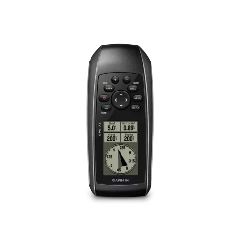 Garmin GPS 73$229.95
 -
 Garmin GPSMAP 86i$699.95
| Garmin Model | GPS 73 | GPSMAP 78s | GPSMAP 79s/79sc | GPSMAP 86s | GPSMAP 86sc | GPSMAP 86i | GPSMAP 86sci |
|---|---|---|---|---|---|---|---|
| Waypoints | 1000 | 2000 | 10,000 | 10,000 | 10,000 | 10,000 | 10,000 |
| Routes | 50 | 200 | 250, 250 points per route; 50 points auto routing | 250 | 250 | 250 | 250 |
| Track log | 10,000 | 20, 000, 250 saved gpx tracks, 300 saved fit activities | 20,000 points, 250 saved gpx tracks, 300 saved fit activities | 20, 000, 250 saved gpx tracks, 300 saved fit activities | 20, 000, 250 saved gpx tracks, 300 saved fit activities | 20, 000, 250 saved gpx tracks, 300 saved fit activities | 20, 000, 250 saved gpx tracks, 300 saved fit activities |
| Tracks | 100 | 200 | 250 | 250 | 250 | 250 | 250 |
| Display size | 1.43″ x 2.15″ | 1.43″ x 2.15″ | 1.5″W x 2.5″H (3.8 x 6.3 cm); 3″ diag (7.6 cm) | 3.0″ diagonal | 3.0″ diagonal | 3.0″ diagonal | 3.0″ diagonal |
| Display resolution | 128 x 160 pixels | 160 x 240 pixels | 240 x 400 pixels | 240 x 400 pixels | 240 x 400 pixels | 240 x 400 pixels | 240 x 400 pixels |
| Built-in memory | ❌ | 1.7GB | 8 GB (user space varies based on included mapping on sc version) | 16 GB | 16 GB | 16 GB | 16 GB |
| Expandable memory | ❌ | ✅ (MicroSD) | ✅ (32 GB max microSD™ card, not included) | ✅ (32 GB max microSD™ card, not included) | ✅ (32 GB max microSD™ card, not included) | ✅ (32 GB max microSD™ card, not included) | ✅ (32 GB max microSD™ card, not included) |
| Battery type | AA | AA | 2 AA batteries (not included); NiMH or Lithium recommended | rechargeable, internal lithium-ion | rechargeable, internal lithium-ion | rechargeable, internal lithium-ion | rechargeable, internal lithium-ion |
| Battery Life | +18 hours | 20 hours | up to 19 hours | up to 35 hours at 10-minute tracking; up to 200 hours at 30-minute tracking (power save mode) | up to 35 hours at 10-minute tracking; up to 200 hours at 30-minute tracking (power save mode) | up to 35 hours at 10-minute tracking; up to 200 hours at 30-minute tracking (power save mode) | up to 35 hours at 10-minute tracking; up to 200 hours at 30-minute tracking (power save mode) |
| GPS/GLONASS/Galileo | GPS | GPS | GPS/GLONASS/Galileo | GPS/GLONASS/Galileo | GPS/GLONASS/Galileo | GPS/ Galileo | GPS/ Galileo |
| QZSS | ❌ | ❌ | ✅ | ❌ | ❌ | ❌ | ❌ |
| SBAS | ❌ | ❌ | ✅ | ❌ | ❌ | ❌ | ❌ |
| Touchscreen | ❌ | ❌ | ❌ | ❌ | ❌ | ❌ | ❌ |
| Colour | ❌ | ✅ | ✅ | ✅ | ✅ | ✅ | ✅ |
| Flashlight | ❌ | ❌ | ❌ | ✅ | ✅ | ✅ | ✅ |
| Connect IQ | ❌ | ❌ | ❌ | ✅ | ✅ | ✅ | ✅ |
| Garmin Explore | ❌ | ❌ | ❌ | ✅ | ✅ | ✅ | ✅ |
| Garmin connect | ❌ | ❌ | ❌ | ✅ | ✅ | ✅ | ✅ |
| MIL STD 810G ruggedness | ❌ | ❌ | ✅(thermal, shock, water); bare unit only | ✅ (thermal, shock, water) | ✅ (thermal, shock, water) | ✅ (thermal, shock, water) | ✅ (thermal, shock, water) |
| Rinex logging | ❌ | ❌ | ✅ | ✅ | ✅ | ✅ | ✅ |
| Built-in satellite messenger | ❌ | ❌ | ❌ | ❌ | ❌ | ✅ | ✅ |
| inReach remote widget | ❌ | ❌ | ❌ | ❌ | ❌ | built in inReach capabilities | built in inReach capabilities |
| Electronic compass | ❌ | tilt-compensated, 3-axis | tilt-compensated, 3-axis | tilt-compensated, 3-axis | tilt-compensated, 3-axis | tilt-compensated, 3-axis | tilt-compensated, 3-axis |
| Barometric altimeter | ❌ | ✅ | ❌ | ✅ | ✅ | ✅ | ✅ |
| Auto Routing | ❌ | ✅ | Yes (with optional mapping for detailed roads) | ✅ | ✅ | ✅ | ✅ |
| External Antenna Compatible | ✅ | ✅ | ❌ | ❌ | ❌ | ❌ | ❌ |
| Area calculation | ✅ | ✅ | ✅ | ✅ | ✅ | ✅ | ✅ |
| Hunt/fish calendar | ✅ | ✅ | ✅ | ✅ | ✅ | ✅ | ✅ |
| Sun and moon information | ✅ | ✅ | ✅ | ✅ | ✅ | ✅ | ✅ |
| XERO™ Locations | ❌ | ❌ | ❌ | ✅ | ✅ | ✅ | ✅ |
| Mapping compatible | ❌ | ✅ | ✅ | ✅ | ✅ | ✅ | ✅ |
| Dual orientation | ❌ | ❌ | ❌ | ❌ | ❌ | ❌ | ❌ |
| Wireless Connectivity | ❌ | ANT+ | ❌ | Bluetooth/ANT+/WiFi | Bluetooth/ANT+/WiFi | Bluetooth/ANT+/WiFi | Bluetooth/ANT+/WiFi |
| Preloaded maps | ❌ | Worldwide basemap | 79s: Worldwide basemap 79sc: U.S. BlueChart® g3 | Worldwide TOPO basemap | Worldwide TOPO basemap, U.S. BlueChart G3 | Worldwide TOPO basemap | Worldwide TOPO basemap, U.S. BlueChart G3 |
| Includes detailed hydrographic features (coastlines, lake/river shorelines, wetlands and perennial and seasonal streams) | ❌ | ❌ | ✅(downloadable from Garmin Express™) | ❌ | ❌ | ❌ | ❌ |
| Includes searchable points of interests (parks, campgrounds, scenic lookouts and picnic sites) | ❌ | ❌ | ✅(downloadable from Garmin Express™) | ✅(downloadable from Garmin Express™) | ✅(downloadable from Garmin Express™) | ✅(downloadable from Garmin Express™) | ✅(downloadable from Garmin Express™) |
| Displays national, state and local parks, forests, and wilderness areas | ❌ | ❌ | ✅(downloadable from Garmin Express™) | ✅(downloadable from Garmin Express™) | ✅(downloadable from Garmin Express™) | ✅(downloadable from Garmin Express™) | ✅(downloadable from Garmin Express™) |
| Custom maps | ❌ | ✅ | ✅ | ✅(500 custom map tiles) | ✅(500 custom map tiles) | ✅(500 custom map tiles) | ✅(500 custom map tiles) |
| Point-to-point navigation | ❌ | ❌ | ✅ | ✅ | ✅ | ✅ | ✅ |
| Satellite imagery | ❌ | ❌ | ❌ | ✅ | ✅ | ✅ | ✅ |
| Geocaching | ❌ | ✅paperless | ✅paperless | ✅paperless | ✅paperless | ✅paperless | ✅paperless |
| Unit to unit transfer | ❌ | ✅ | ❌ | ✅ | ✅ | ✅ | ✅ |
| Smart notifications | ❌ | ❌ | ❌ | ✅ | ✅ | ✅ | ✅ |
| Live tracking | ❌ | ❌ | ❌ | ❌ | ❌ | ❌ | ❌ |
| Boat data streaming | ❌ | ❌ | ❌ | ✅ | ✅ | ✅ | ✅ |
| Active weather | ❌ | ❌ | ❌ | ✅ | ✅ | ✅ | ✅ |
-
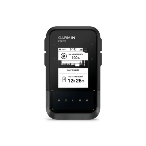 Garmin eTrex Solar Handheld GPS$339.99
 -
 Garmin Rino 750t$699.95
 -
 Garmin eTrex SE$199.99
 -
 Garmin Rino 700$469.99
 -
 Garmin Rino 750 (Canadian Version)$669.99
 -
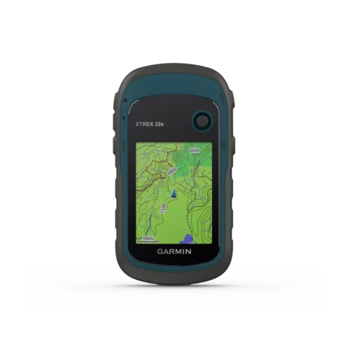 Garmin eTrex 22x$249.99
 -
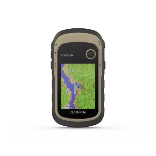 Garmin eTrex 32x$329.95
| Garmin Model | eTrex SE | eTrex Solar | eTrex Touch | eTrex 22x | eTrex 32x | Rino 700 | Rino 750 | Rino 750t | Rino 755t |
|---|---|---|---|---|---|---|---|---|---|
| Waypoints | 1,000 | 1,000 | ✅ | 2000 | 2000 | 1000 | 10,000 | 10,000 | 10,000 |
| Routes | ✅ | ✅ | ✅ | 200 | 200 | 50 | 250 | 250 | 250 |
| Track log | ✅ | ✅ | ✅ | 10,000 | 10,000 | 10,000 | 20,000 | 20,000 | 20,000 |
| Tracks | ✅ | ✅ | ✅ | 200 | 200 | 100 | 200 | 200 | 200 |
| Display size | 1.3″ x 1.7″ | 1.3″ x 1.7″ | 1.53″ x 2.55″ | 1.4″ x 1.7″ | 1.4″ x 1.7″ | 1.4″ x 1.7″ | 1.53” x 2.55” | 1.53” x 2.55” | 1.53” x 2.55” |
| Display resolution | 240 x 320 pixels | 240 x 320 pixels | 240 x 400 pixels | 240 x 320 pixels | 240 x 320 pixels | 128 x 160 pixels | 240 x 400 pixels | 240 x 400 pixels | 240 x 400 pixels |
| Built-in memory | 28 MB | 28 MB | 32 GB (user space varies based on included mapping) | 8GB | 8GB | ❌ | 1.7GB | 4.5GB | 4.5GB |
| Expandable memory | ❌ | ❌ | ❌ | ✅ (MicroSD) | ✅ (MicroSD) | ❌ | ✅ (MicroSD) | ✅ (MicroSD) | ✅ (MicroSD) |
| Battery type | 2AA (not included) | rechargeable, internal lithium-ion | rechargeable, internal lithium-ion | 2AA (not included) | 2AA (not included) | internal li-ion battery pack | removable li-ion battery pack | removable li-ion battery pack | removable li-ion battery pack |
| Battery life (hours) | 168 hours in standard mode; 1,800 hours in expedition mode | GPS only tracking: up to 200 hours GNSS and Multi Band Tracking: up to 100 hours Expedition mode: up to 1,800 hours Unlimited when used in 75,000 Lux conditions |
All Satellite Systems + Multi band: Up to 130 hours* *Assuming typical use with SatIQ technology | 25 | 25 | 13 | 14 | 14 | 14 |
| GPS/GLONASS Galileo | GPS, GLONASS, Galileo, QZSS, BeiDou | GPS, GLONASS, Galileo, QZSS, BeiDou, IRNSS | GPS, GLONASS, Galileo, QZSS, BeiDou, IRNSS | GPS/GLONASS | GPS/GLONASS | GPS/GLONASS | GPS/GLONASS | GPS/GLONASS | GPS/GLONASS |
| Touchscreen | ❌ | ❌ | ✅ | ❌ | ❌ | ❌ | ✅ | ✅ | ✅ |
| Colour | ❌ | ❌ | ✅ | ✅ | ✅ | ❌ | ✅ | ✅ | ✅ |
| Flashlight | ❌ | ❌ | ❌ | ❌ | ❌ | ❌ | ❌ | ❌ | ✅ |
| Camera | ❌ | ❌ | ❌ | ❌ | ❌ | ❌ | ❌ | ❌ | ✅ 8 MP |
| Connect IQ | ❌ | ❌ | ✅ | ❌ | ❌ | ❌ | ✅ | ✅ | ✅ |
| Garmin Explore | ❌ | ❌ | ✅ | ❌ | ❌ | ❌ | ❌ | ❌ | ❌ |
| Garmin connect | ❌ | ❌ | ✅ | ❌ | ❌ | ❌ | ✅ | ✅ | ✅ |
| MIL STD 810G ruggedness | ❌ | ❌ | ❌ | ❌ | ❌ | ❌ | ❌ | ❌ | ❌ |
| Rinex logging | ❌ | ❌ | ❌ | ❌ | ❌ | ❌ | ❌ | ❌ | ❌ |
| Built-in satellite messenger | ❌ | ❌ | ❌ | ❌ | ❌ | ❌ | ❌ | ❌ | ❌ |
| inReach remote widget | ❌ | ❌ | ❌ | ❌ | ❌ | ❌ | ❌ | ❌ | ❌ |
| Electronic compass | ✅ | ✅ | ✅ | ❌ | tilt-compensated, 3-axis | ❌ | tilt-compensated, 3-axis | tilt-compensated, 3-axis | tilt-compensated, 3-axis |
| Barometric altimeter | ❌ | ❌ | ✅ | ❌ | ✅ | ❌ | ✅ | ✅ | ✅ |
| Auto Routing | ❌ | ❌ | ✅ | ✅ | ✅ | ❌ | ✅ | ✅ | ✅ |
| External Antenna Compatible | ❌ | ❌ | ❌ | ❌ | ❌ | ❌ | ✅ | ✅ | ✅ |
| Area calculate | ✅ | ✅ | ✅ | ✅ | ✅ | ❌ | ✅ | ✅ | ✅ |
| Mapping compatible | ❌ | ❌ | ✅ | ✅ | ✅ | ❌ | ✅ | ✅ | ✅ |
| Dual orientation | ❌ | ❌ | ✅ | ❌ | ❌ | ❌ | ❌ | ✅ | ✅ |
| Wireless | Bluetooth | Bluetooth | Wi-Fi®, BLE, ANT® | ❌ | ANT+ | ❌ | Bluetooth/ANT+ | Bluetooth/ANT+ | Bluetooth/ANT+ |
| Spoken directions | ❌ | ❌ | ❌ | ❌ | ❌ | ❌ | ❌ | ❌ | ❌ |
| Preloaded maps | cities only | cities only | TopoActive, routable | TopoActive, routable | TopoActive, routable | ❌ | ❌ | TOPO Canada | TOPO Canada |
| Custom maps | ❌ | ❌ | ❌ | ❌ | ✅ | ✅ | ✅ | ✅ | ✅ |
| Satellite imagery | ❌ | ❌ | ✅ (via Outdoor Maps+ subscription) | ❌ | ❌ | ❌ | ❌ | ❌ | ❌ |
| Geocaching | ✅ Geocache Live | ✅ Geocache Live | ✅ Geocache Live | ✅ paperless | ✅ paperless | ✅ | ✅ | ✅ | ✅ |
| Unit to unit transfer | ❌ | ❌ | ❌ | ❌ | ❌ | ❌ | ✅ | ✅ | ✅ |
| Smart notifications | ✅ | ✅ | ✅ | ❌ | ❌ | ❌ | ✅ | ✅ | ✅ |
| Live tracking | ❌ | ✅ | ✅ | ❌ | ❌ | ❌ | ❌ | ❌ | ❌ |
| Boat data streaming | ❌ | ❌ | ❌ | ❌ | ❌ | ❌ | ❌ | ❌ | ❌ |
| Active weather | ✅ | ✅ | ✅ | ❌ | ❌ | ❌ | ✅ | ✅ | ✅ |