Compare devices in the popular Garmin eTrex series. The Garmin eTrex is a small handheld GPS unit that is flexible and a great choice if space is tight.
-
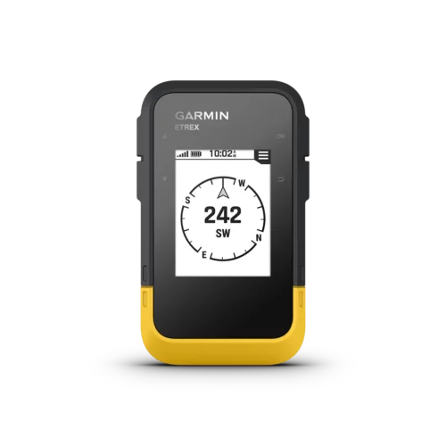 Garmin eTrex SE$199.99
 -
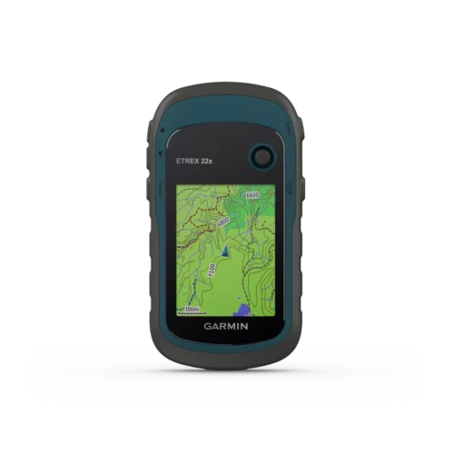 Garmin eTrex 22x$249.99
 -
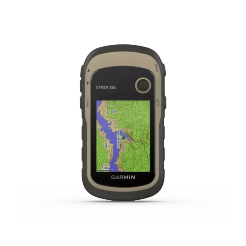 Garmin eTrex 32x$329.95
 -
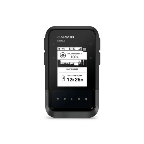 Garmin eTrex Solar Handheld GPS$339.99
 -
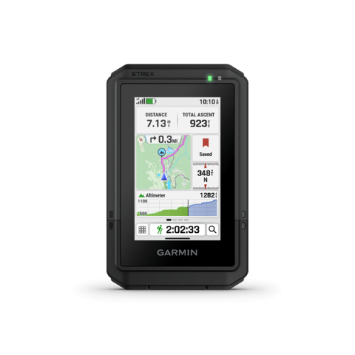 Garmin eTrex Touch$629.99
| Product | eTrex SE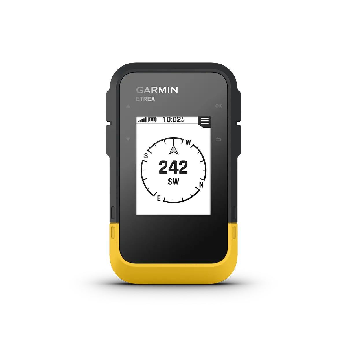 | eTrex Solar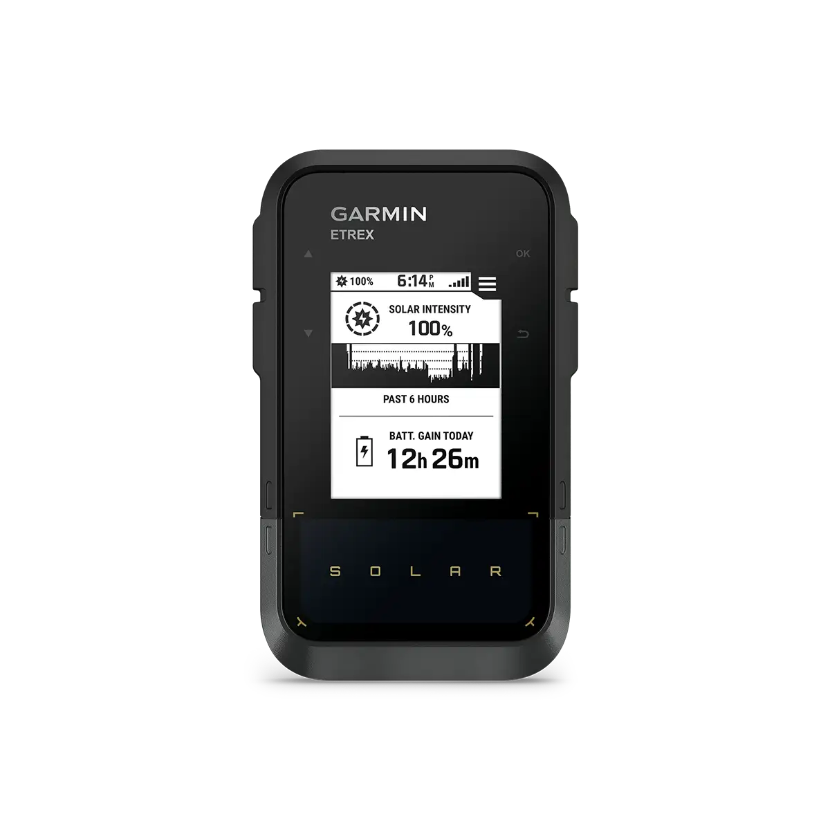 | eTrex Touch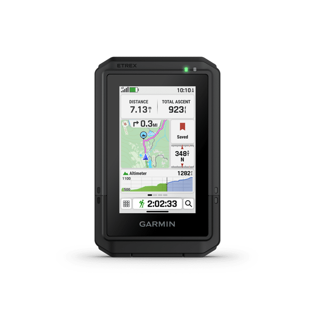 | eTrex 22x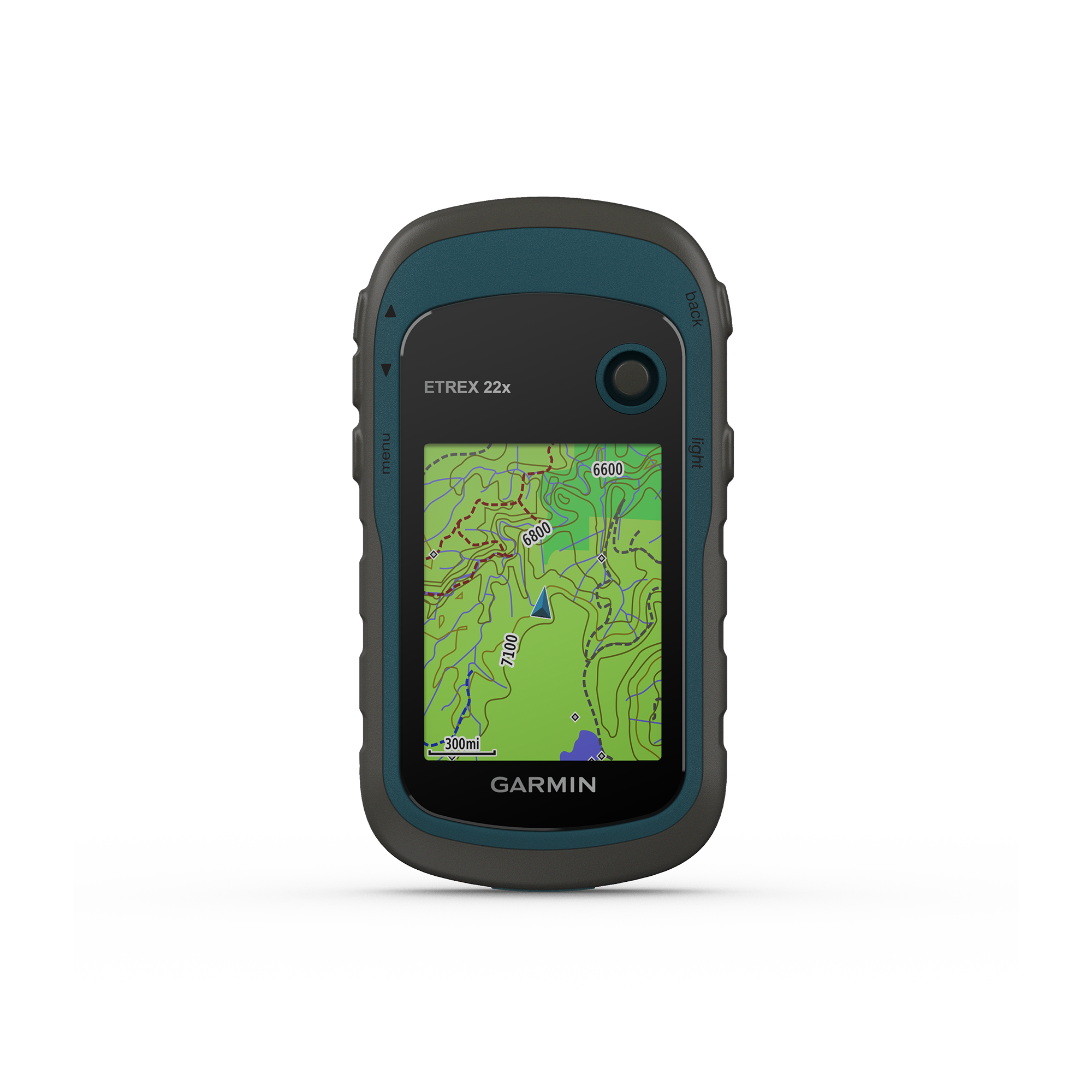 | eTrex 32x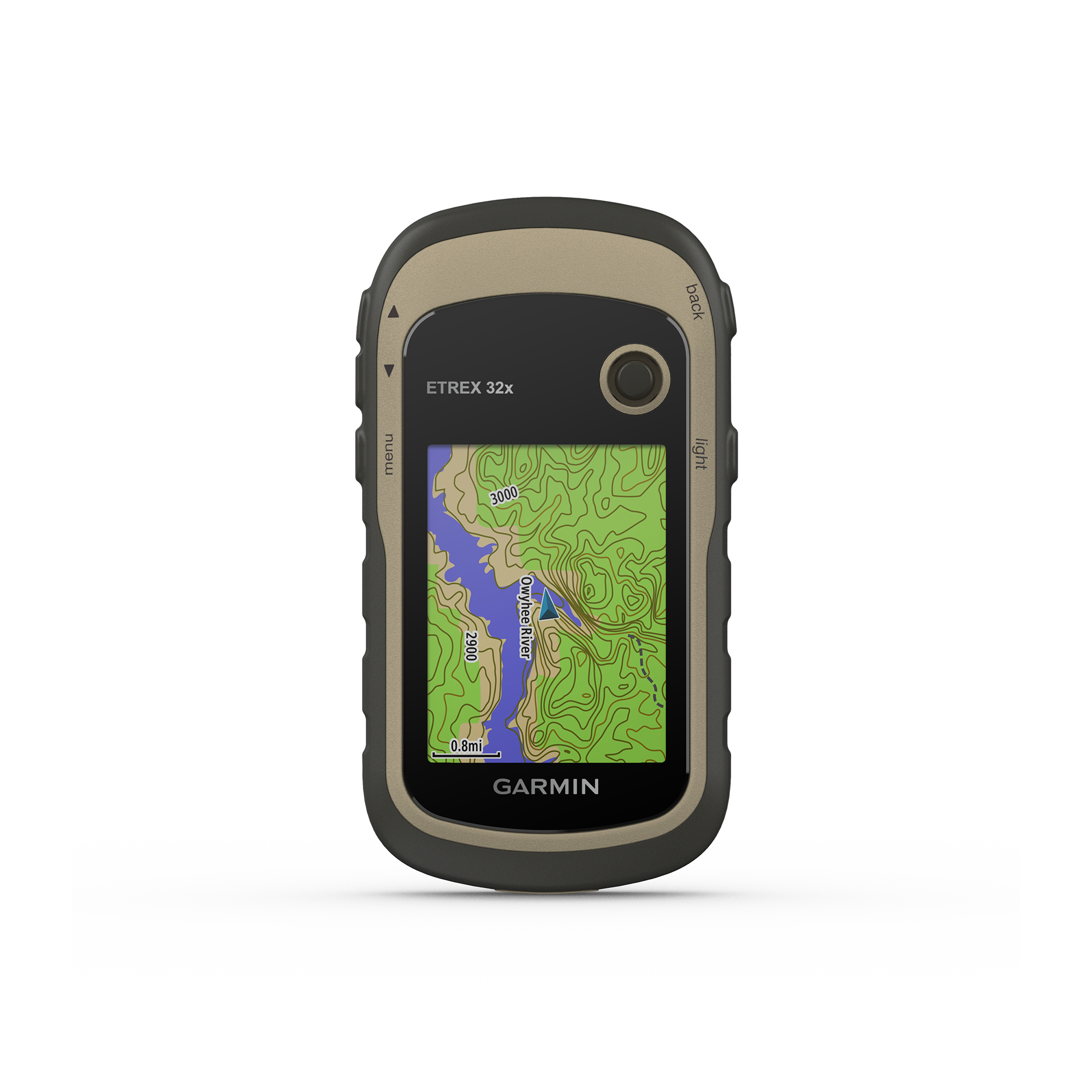 |
|---|---|---|---|---|---|
| Unit dimensions | 2.4″ x 4.0″ x 1.3″ (6.1 x 10.0 x 3.3 cm) | 2.5” x 4.1”x 1.2” (6.4 cm x 10.5 cm x 3.1 cm) | 2.6″ x 4.15″ x 0.97″ (66 mm x 105.4 mm x 24.6 mm) | 2.1″ x 4.0″ x 1.3″ (5.4 x 10.3 x 3.3 cm) | 2.1″ x 4.0″ x 1.3″ (5.4 x 10.3 x 3.3 cm) |
| Display size | 1.3″ x 1.7″ (3.3 cm x 4.4 cm); 2.16″ diag (5.5 cm) | 1.3″ x 1.7″ (3.3 cm x 4.4 cm); 2.16″ diag (5.5 cm) | 1.53″ x 2.55″ (3.88 cm x 6.48 cm); 3″ diag (7.62 cm) | 1.4″ x 1.7″ (3.6 x 4.3 cm); 2.2″ diag (5.6 cm) | 1.4″ x 1.7″ (3.6 x 4.3 cm); 2.2″ diag (5.6 cm) |
| Display resolution | 240 x 320 pixels | 240 x 320 pixels | 240 x 400 pixels | 240 x 320 pixels | 160 x 240 pixels |
| Display type | transflective, monochrome | transflective, monochrome | 3″ transflective Color TFT | transflective, 65-K color TFT | 2.6″ 65K color TFT, touchscreen |
| Lens Material | chemically strengthened glass | chemically strengthened glass | chemically strengthened glass | acrylic | acrylic |
| Weight w/batteries | 5.5 oz (156.5 g) | 5.0 oz (141 g) | 5.3 oz (150 g) | 5 oz (141.7 g) | 5.6 oz (159 g) |
| Battery | 2 AA (not included) | rechargeable, internal lithium-ion | rechargeable, internal lithium-ion | 2 AA (not included) | 2 AA (not included) |
| Battery life | 168 hours in standard mode; 1,800 hours in expedition mode | GPS only tracking: up to 200 hours GNSS and Multi Band Tracking: up to 100 hours Expedition mode: up to 1,800 hours Unlimited when used in 75,000 Lux conditions | All Satellite Systems + Multi band: Up to 130 hours* Expedition Mode: Up to 650 hours *Assuming typical use with SatIQ technology | 25 hours | 25 hours |
| Solar Charging | ❌ | ✅ | ❌ | ❌ | ❌ |
| Water rating | IPX7 | IPX7 | IP67 | IPX7 | IPX7 |
| Built-in memory | 28 MB | 28 MB | 32 GB (user space varies based on included mapping) | 8GB | 8GB |
| High-sensitivity receiver | ✅ | ✅ | ✅ | ✅ | ✅ |
| Interface | USB-C | USB-C | USB-C | mini USB | mini USB |
| Sensors | |||||
| GPS/GLONASS | GPS, GLONASS, Galileo, QZSS, BeiDou | GPS, GLONASS, Galileo, QZSS, BeiDou, IRNSS | GPS, GLONASS, Galileo, QZSS, BeiDou, IRNSS | GPS/GLONASS | GPS/GLONASS |
| Barometric altimeter | ❌ | ❌ | ✅ | ❌ | ✅ |
| Compass | ✅ (tilt-compensated 3-axis) | ✅ (tilt-compensated 3-axis) | ✅ | ❌ | ✅ (tilt-compensated 3-axis) |
| GPS compass (while moving) | ✅ | ✅ | ✅ | ✅ | ✅ |
| Multi-band frequency support | ❌ | ✅ | ✅ | ❌ | ❌ |
| Connections Wireless Connectivity | Bluetooth® | Bluetooth® | Wi-Fi®, BLE, ANT® | ❌ | ANT+ |
| Maps & Memory | |||||
| Basemap | cities only | cities only | ✅ | ✅ | ✅ |
| Preloaded maps | ❌ | ❌ | ✅ (TopoActive; routable) | ✅ (TopoActive; routable) | ✅ (TopoActive; routable) |
| Ability to add maps | ❌ | ❌ | ✅ | ✅ | ✅ |
| Automatic routing (turn by turn routing on roads) for outdoor activities | ❌ | ❌ | ✅ | ✅ | ✅ |
| Map segments | ❌ | ❌ | 15,000 | 3000 | 3000 |
| Satellite Imagery | ❌ | ❌ | ✅(via Outdoor Maps+ subscription) | ❌ | ❌ |
| Includes detailed hydrographic features (coastlines, lake/river shorelines, wetlands and perennial and seasonal streams) | ❌ | ❌ | ✅ | ✅ | ✅ |
| Includes searchable points of interests (parks, campgrounds, scenic lookouts and picnic sites) | ❌ | ❌ | ✅ | ✅ | ✅ |
| Displays national, state and local parks, forests, and wilderness areas | ❌ | ❌ | ✅ | ✅ | ✅ |
| External memory storage (Accepts data cards) | ❌ | ❌ | ❌ | microSD | microSD |
| Waypoints | 1000 | 1000 | ✅ | 2000 | 2000 |
| Courses | ✅ | ✅ | unlimited | 200 | 200 |
| Tracks | ✅ | ✅ | N/A | 10,000 points, 200 saved tracks | 10,000 points, 200 saved tracks |
| Activities | ❌ | ❌ | unlimited | ✅ | ✅ |
| Activity profiles | ❌ | ❌ | ✅ | 3000 | 3000 |
| GPX imports | ✅ | ✅ | ✅ | ❌ | ❌ |
| Navigation Routes | ✅ | ✅ | N/A | 200 | 200 |
| Outdoor Recreation | |||||
| Point-to-point navigation | ✅ | ✅ | ✅ | ✅ | ✅ |
| TracBack® | ✅ | ✅ | ✅ | ❌ | ❌v |
| Area calculations | ✅ | ✅ | ✅ | ✅ | ✅ |
| Fish forecast | ❌ | ❌ | ❌ | ✅ | ✅ |
| Geocaching friendly | ✅ (Geocache Live) | ✅ (Geocache Live) | ✅ (Geocache Live) | v | ❌ |
| Custom maps compatible | ❌ | ❌ | ✅ (500 custom map tiles) | ✅(100 custom map tiles) | ✅(100 custom map tiles) |
| Picture viewer | ❌ | ❌ | ✅ | ✅ | ✅ |
| Garmin Explore app compatible | ✅ | ✅ | ✅ | ❌ | ✅ |
| Garmin Explore website compatible | ✅ | ✅ | ✅ | ❌ | ❌ |
| Daily Smart Features | |||||
| Connect IQ™ (downloadable watch faces, data fields and apps) | ❌ | ❌ | ✅ | ❌ | ❌ |
| Smart notifications | ✅ | ✅ | ✅ | ❌ | ❌ |
| Weather forecasts | ✅ | ✅ | ✅ | ❌ | ❌ |
| Weather | ❌ | ❌ | ✅ | ❌ | ❌ |
| Pairs with Garmin Connect™ Mobile | ❌ | ❌ | ✅ | ❌ | ❌ |
| Garmin Share | ❌ | ❌ | ✅ | ❌ | ❌ |
| Passcode | ❌ | ❌ | ✅ | ❌ | ❌ |
| Next Word, Auto Complete, Auto Correct | ❌ | ❌ | ✅(Auto Correct, Next Word, Auto Complete) | ❌ | ❌ |
| Safety, Tracking and Tactical Features | |||||
| Livetrack | ✅ | ✅ | ✅ | ❌ | ❌ |
| Compatible with AB Quantam – Garmin | ❌ | ❌ | ✅ | ❌ | ❌ |
| Ballistics solver | ❌ | ❌ | ✅(unlock required) | ❌ | ❌ |
| Dual grid coordinates | ✅ | ✅ | ✅ | ❌ | ❌ |
| Night vision mode | ❌ | ❌ | ✅ | ❌ | ❌ |